|
|
Post by htmb on Jan 20, 2013 12:20:30 GMT
|
|
|
|
Post by htmb on Jan 20, 2013 12:31:43 GMT
|
|
|
|
Post by htmb on Jan 20, 2013 12:46:27 GMT
|
|
|
|
Post by htmb on Jan 20, 2013 13:04:29 GMT
|
|
|
|
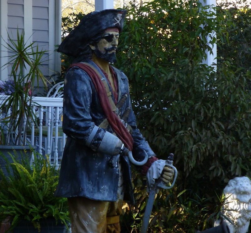
Post by mossie on Jan 20, 2013 15:26:20 GMT
Some lovely pictures. Who is the pirate, "Captain Hook"??, looks like he is straight out of Peter Pan
|
|
|
|
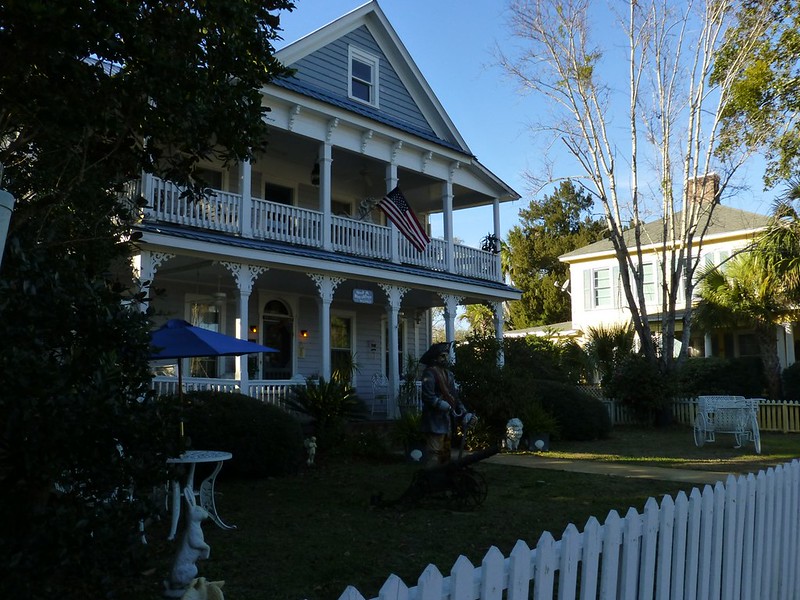
Post by htmb on Jan 20, 2013 16:18:42 GMT
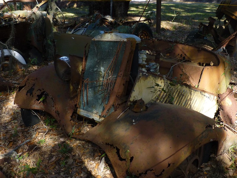
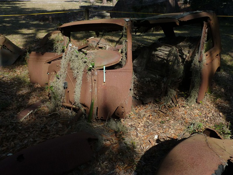
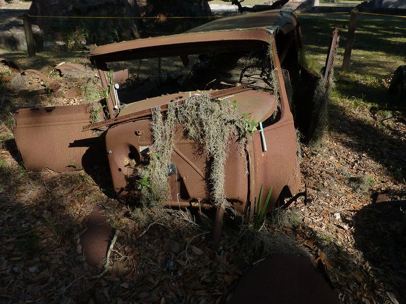
Some lovely pictures. Who is the pirate, "Captain Hook"??, looks like he is straight out of Peter Pan That's what I would assume, Mossie. He also had a small cannon next to him on the ground, not to mention the lion over to the right. I will have to see if my research turns up any information. Much more to come..... |
|
|
|
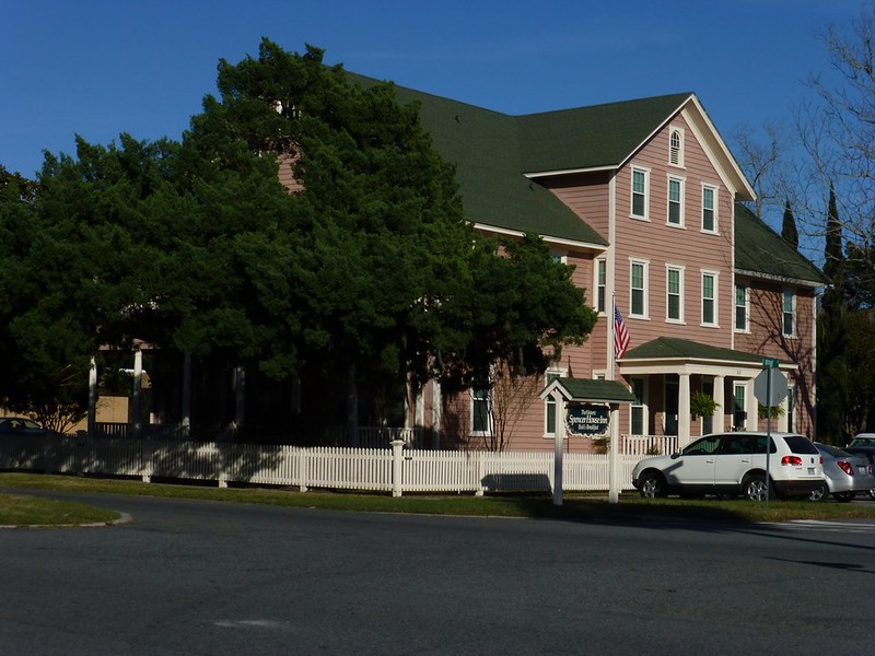
Post by htmb on Jan 20, 2013 16:38:59 GMT
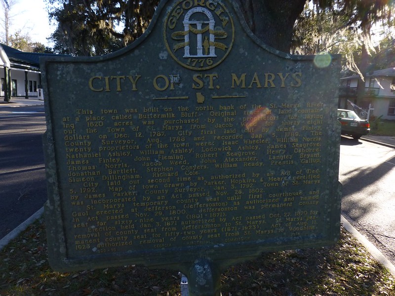
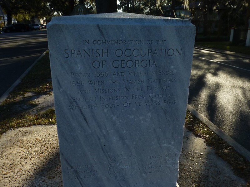
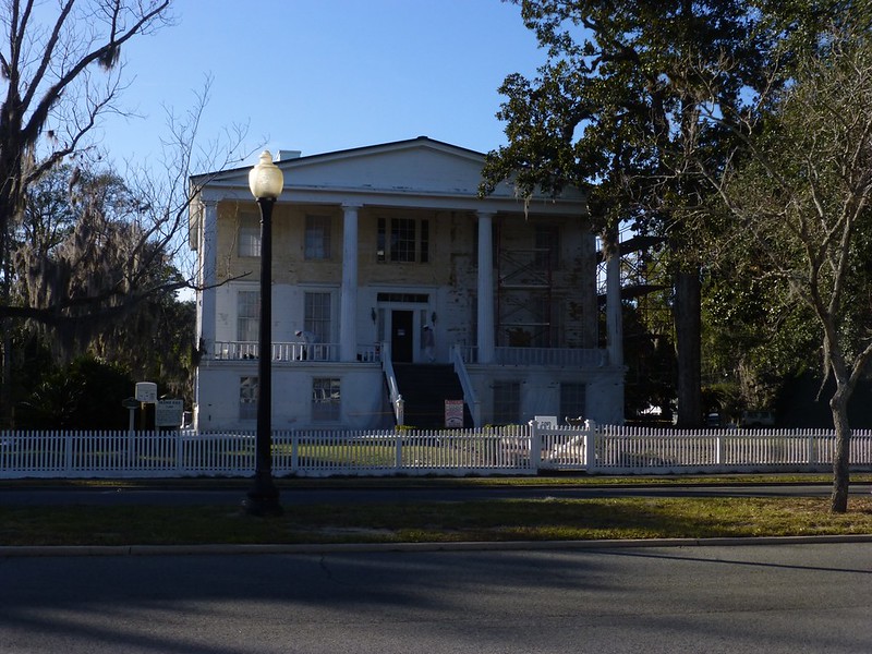
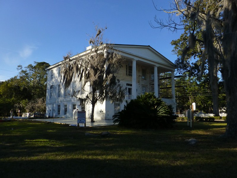
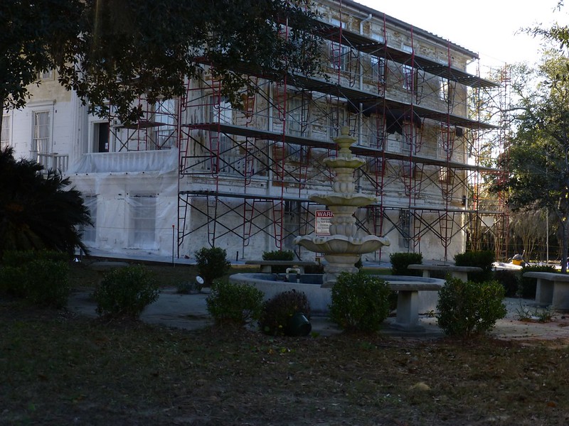
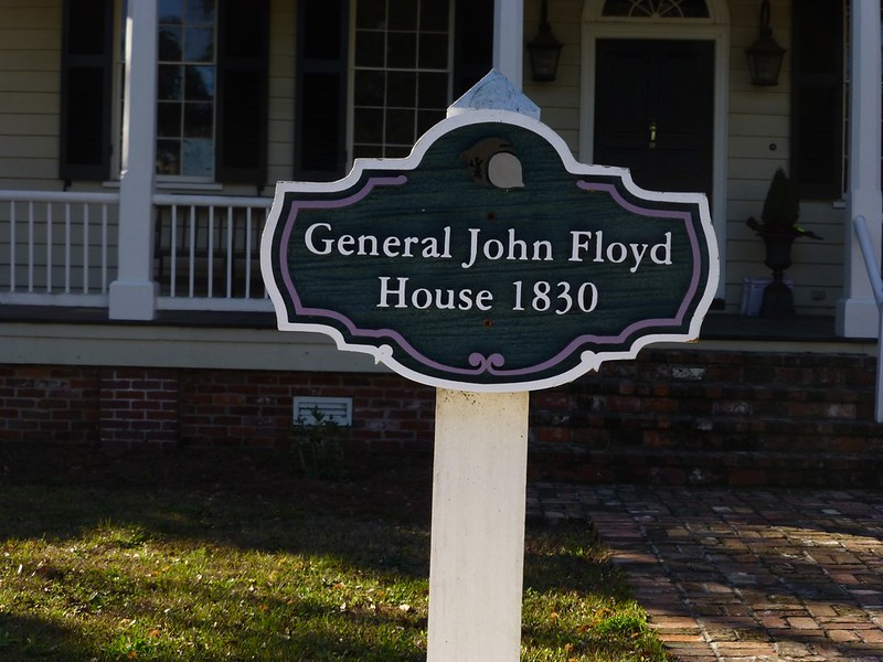
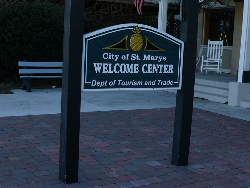
The St. Marys area was first explored in the mid 16th century as part of the settlement of Spanish Florida with nearby St. Augustine as established capital. St. Mary's recognition as establishment within the newly created state of Georgia began by an act of legislature on December 5, 1792 with the result of incorporation in November 1802.
During the War of 1812 the Battle of Fort Peter occurred near the town, at the fort on Point Peter and along St. Marys River. The British captured the fort and the town and occupied it for about a month.
The United States Navy bombarded the town's shore side buildings during the American Civil War.
St. Marys served as Camden County's seat of government from 1869 until 1923.SourceThe history of St. Mary's also includes settlement by Acadians in the 1790's, many of whom are buried in the local cemetary to the east of the historic district.
|
|
|
|
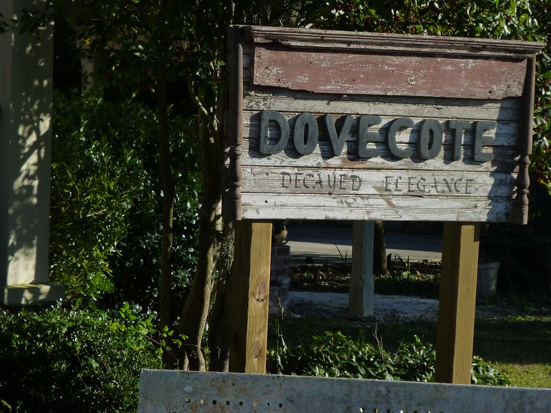
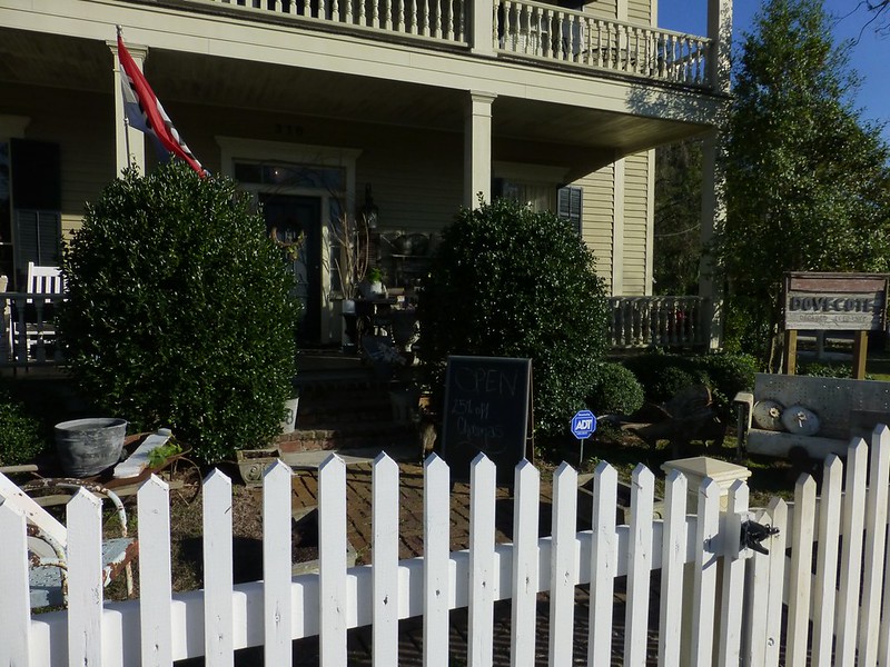
Post by Deleted on Jan 20, 2013 17:47:56 GMT
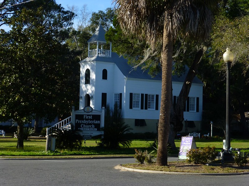
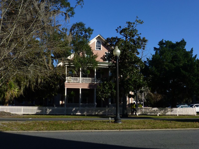
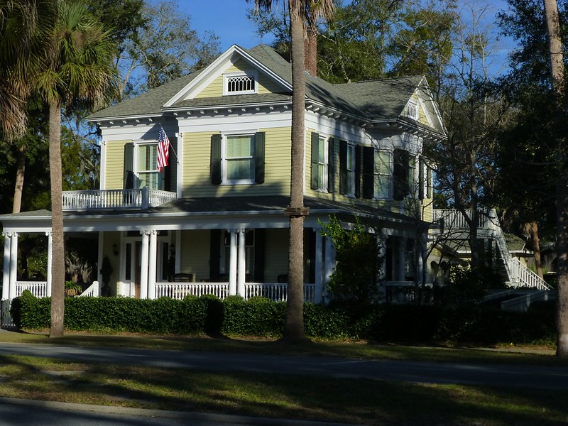
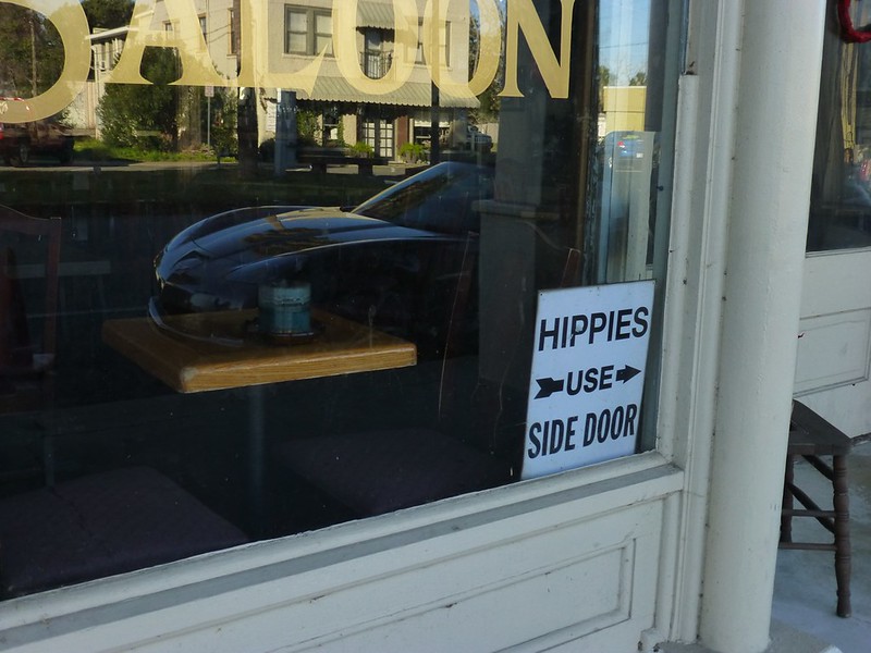
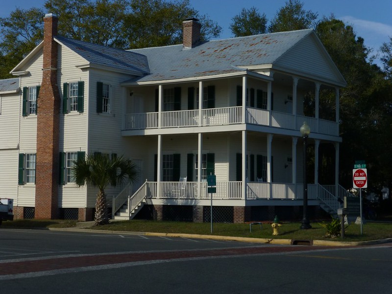
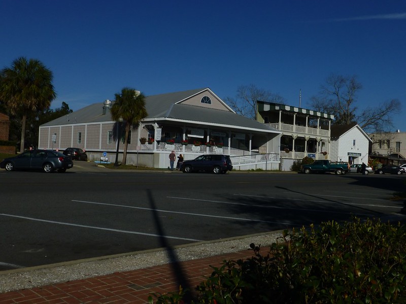
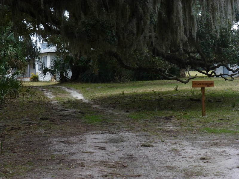
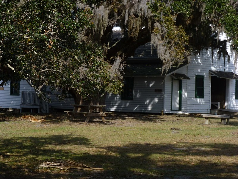
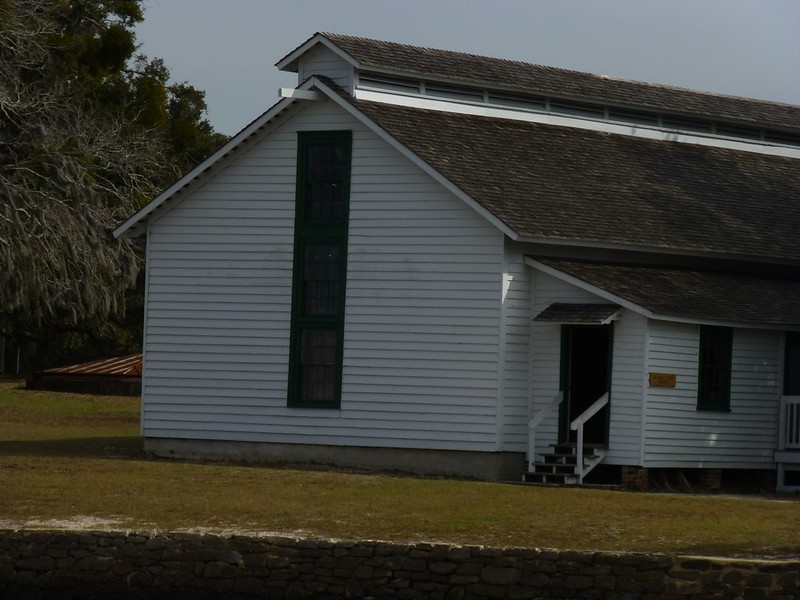
The charm of southern clapboard architecture is inimitable. One of its advantages is that it can be recreated infinitely -- houses can burn down, be eaten by vermin, destroyed by hurricanes or whatever, but as long as you have a good supply of wood, you can put the very same building right back where it used to be.
|
|
|
|
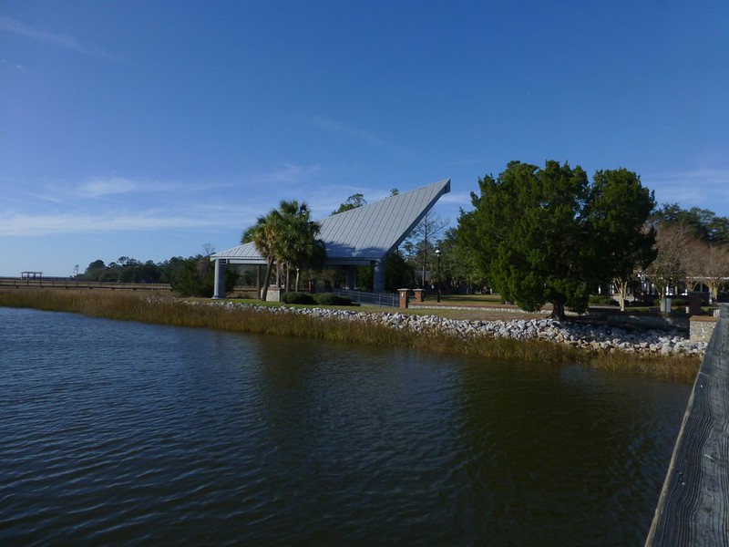
Post by htmb on Jan 20, 2013 19:06:32 GMT
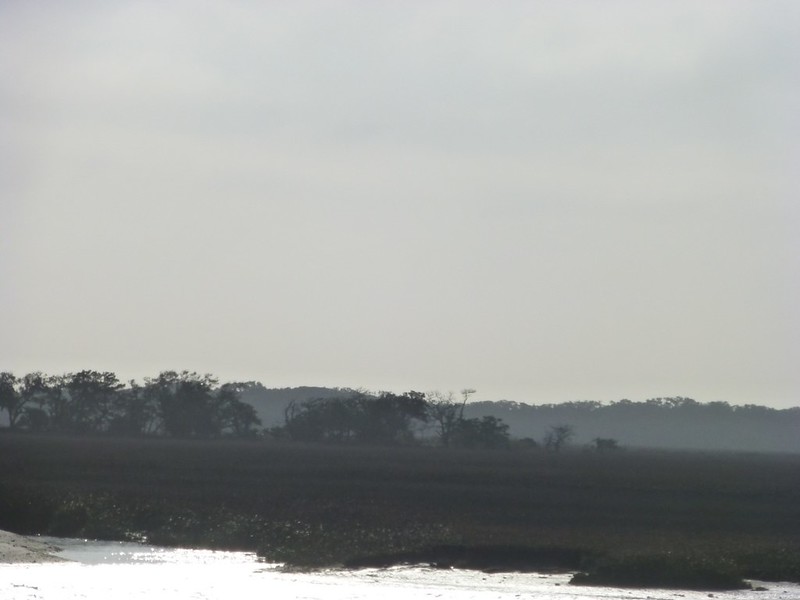
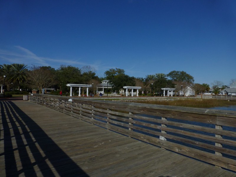
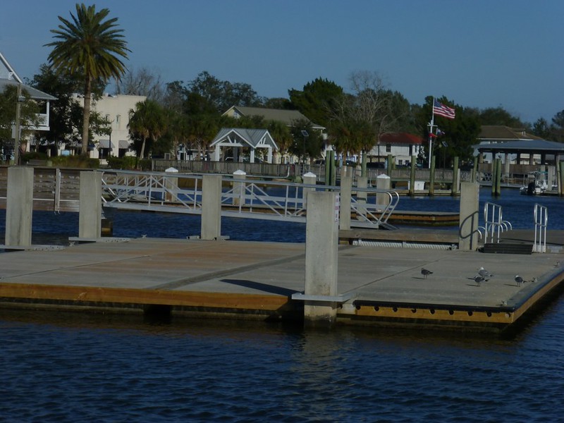
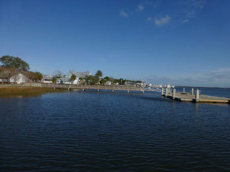
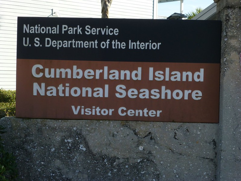
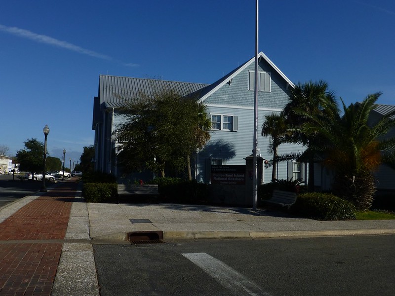
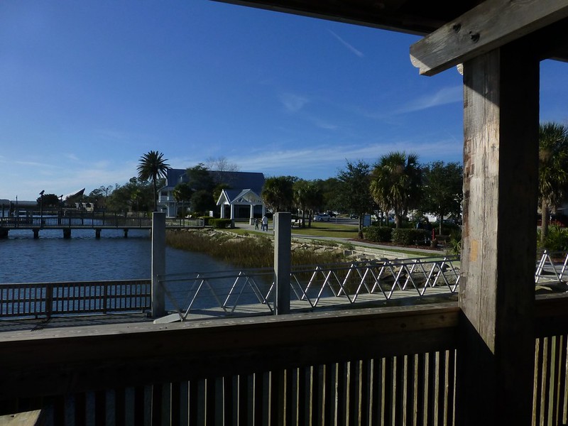
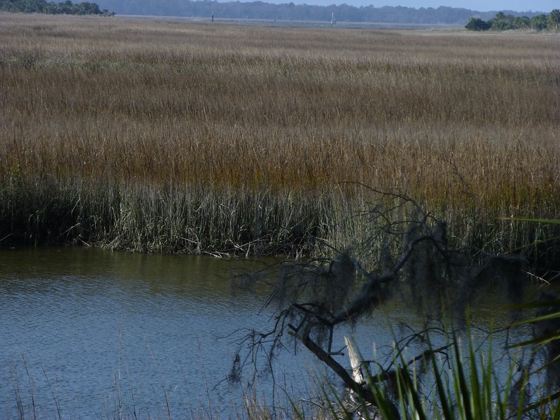
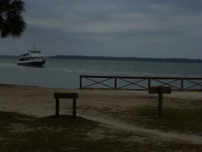
After a quick breakfast I headed back to the docks at the historic section of St. Mary's.  The National Park Service built a very nice facility a few years ago and it contains the check-in office for the ferry, as well as a gift shop and clean, warm restrooms (important when the weather outside is cold and windy). 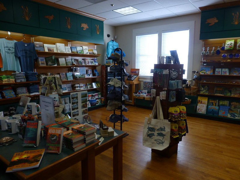 Across the street from the city park is free parking for visitors to the island. When camping, we unload our gear in front of the ferry dock before moving our cars to the designated parking area under the live oak trees. Here's a link to the National Park Service Cumberland Island National Seashore website for more information regarding reservations and fees.After checking in, overnight campers are allowed to load their gear on the boat. 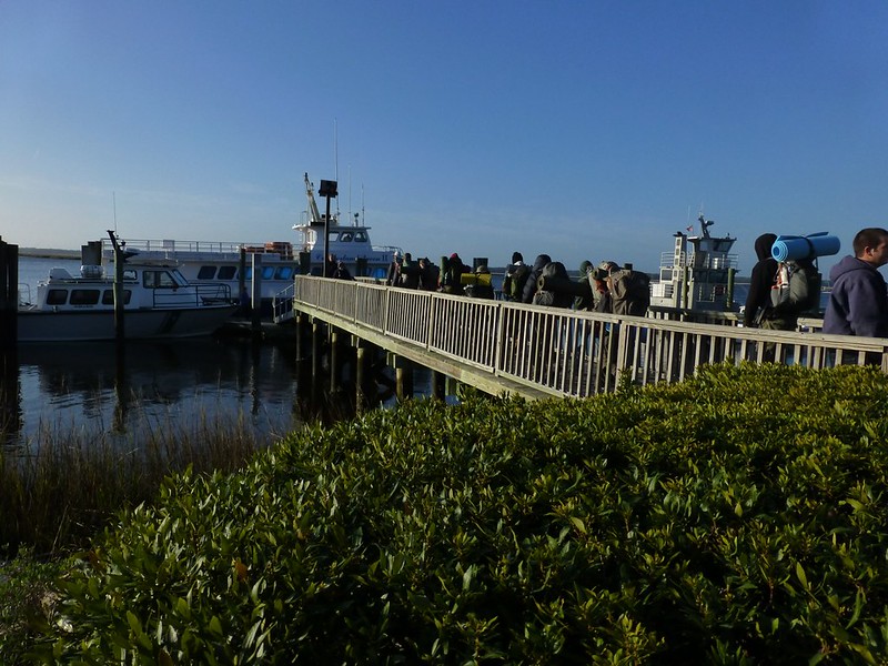 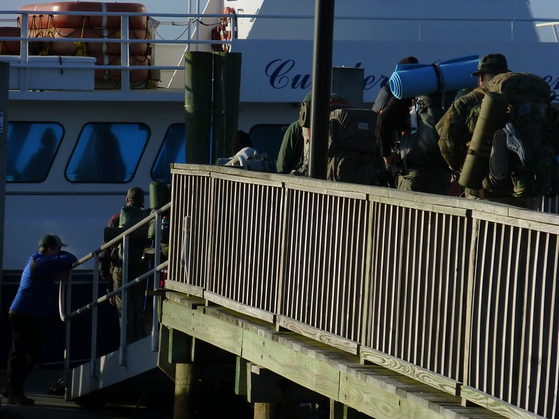 Next, travelers are required to listen to a brief park ranger talk before boarding. 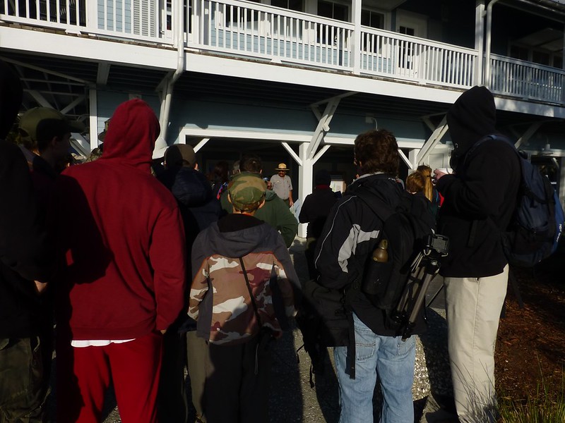 On every trip I've taken, except one, I have sat up top rather than inside the boat. I love being outside and having the opportunity to observe the passing sights. Sitting up top can be fairly challenging to some, and on this day the very strong winds and 54 degree F weather scared off all but a few of us diehard souls. 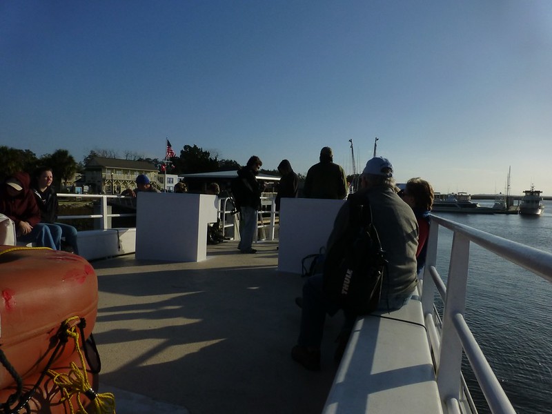 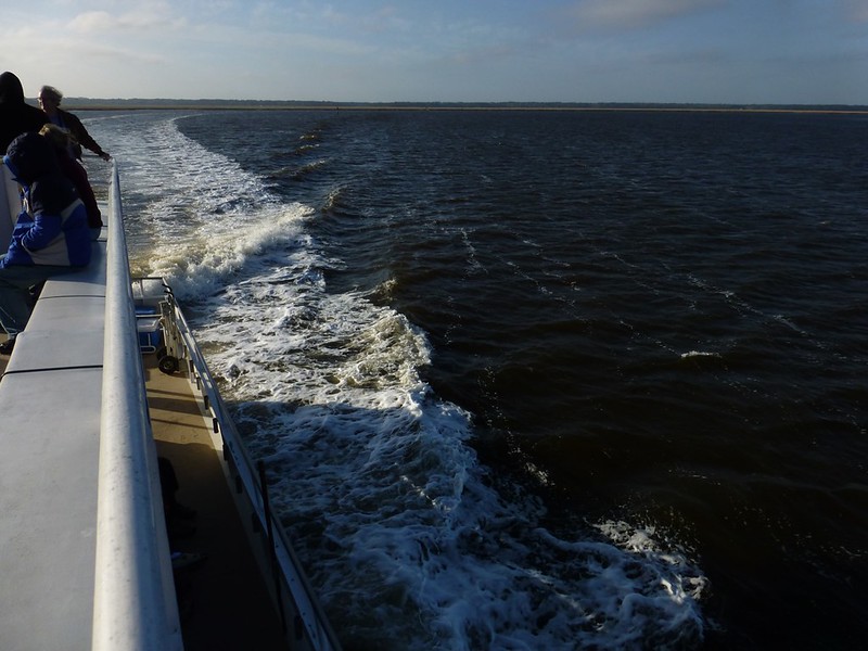 Looking south across river at the salt marshes along the Florida coastline. 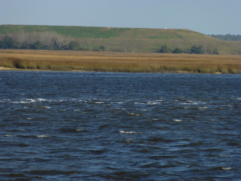 |
|
|
|
Post by htmb on Jan 20, 2013 20:23:26 GMT
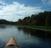
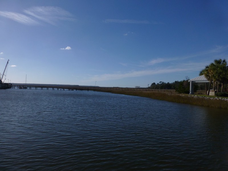
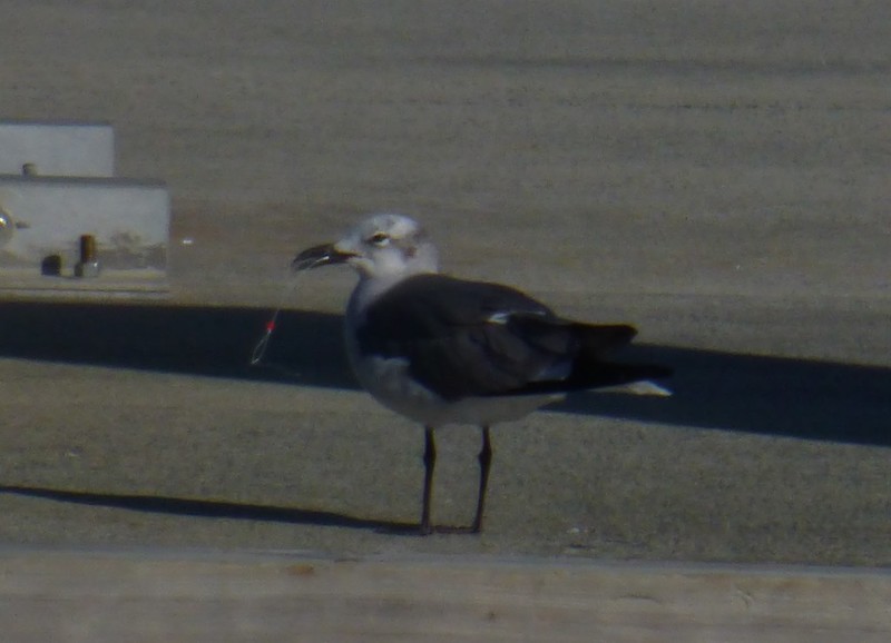
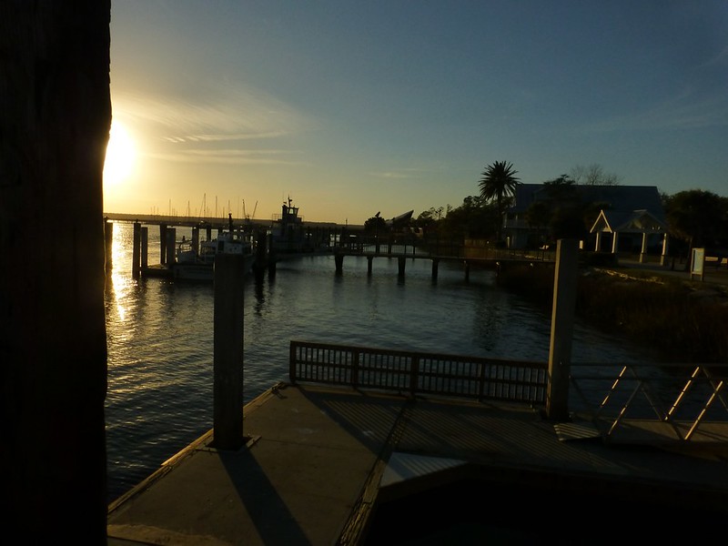
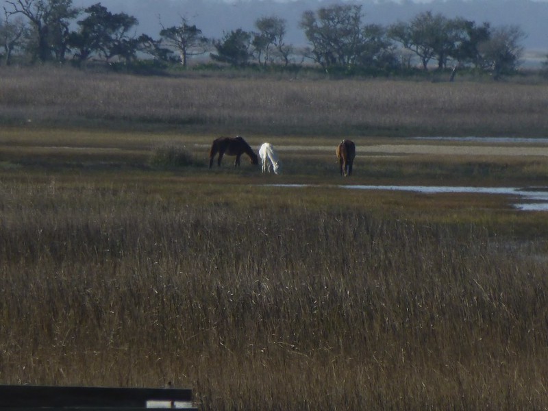
After leaving the docks, our captain navigated towards the area where mouth of the St. Mary's River meets the intercoastal waterway.  This seagull flew alongside for awhile, hoping for a tossed treat, I suppose. 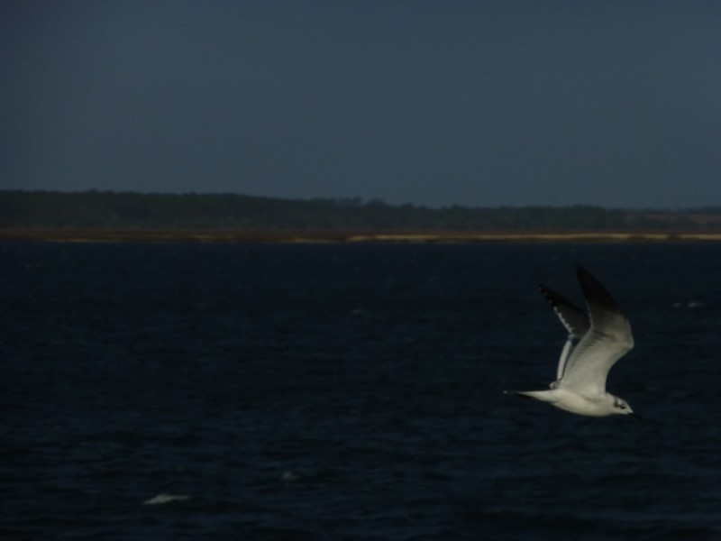 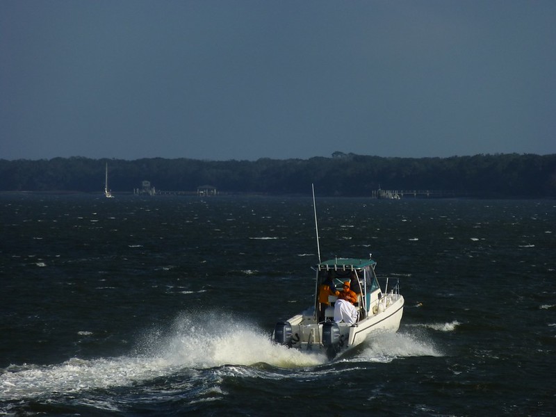 Once we are into the intercostal waterway heading north, I could see the northern tip of Amelia Island and Fernandina, Florida to the right (east), as well as the pass to the Atlantic Ocean. Beyond that, looking north, lies the southern tip of Cumberland Island. 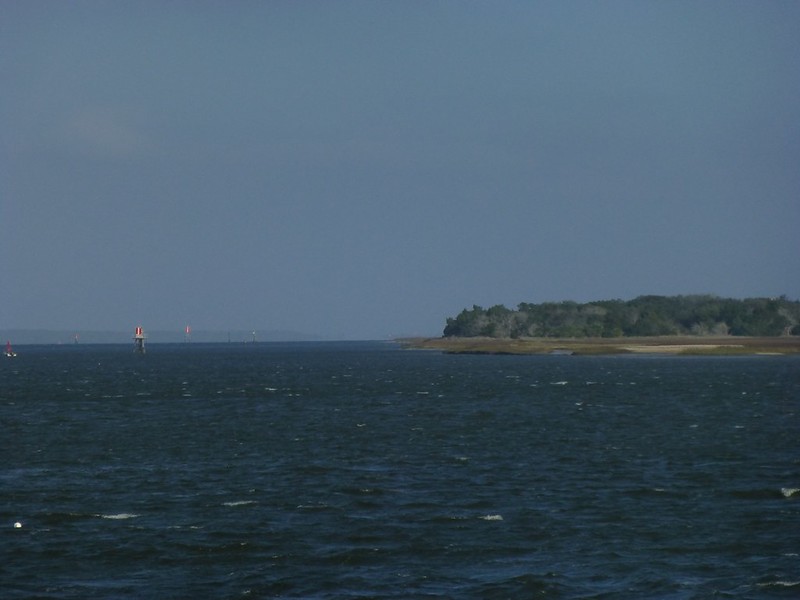 Off to the left (northwest) lies the Kings Bay Naval Submarine Base. 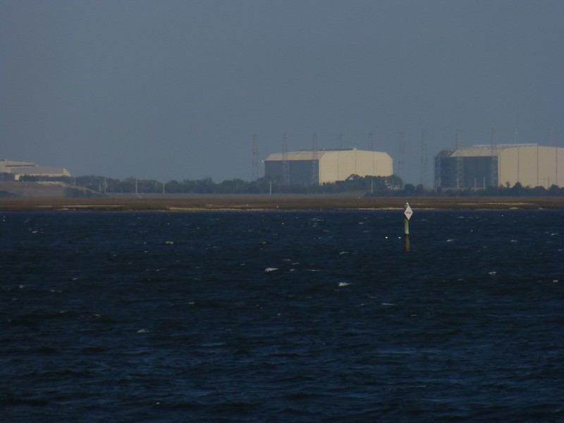 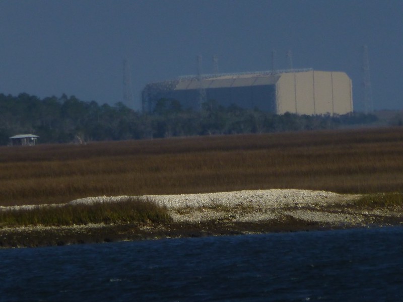 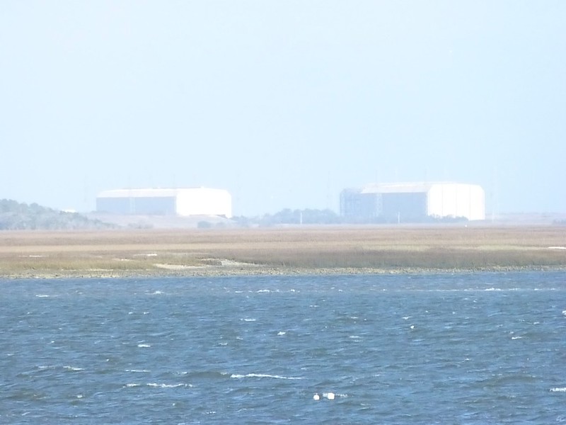 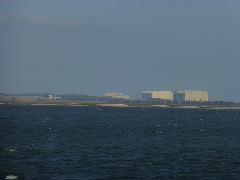 The base houses nuclear submarines and, as you can imagine, security is very tight in this particular area. I have not witnessed submarines exiting or entering the base in the past several years, but I know they are always accompanied by several escort boats. When I was visiting the area in February of 2002, security was heightened to the max. Our boat was chugging along when, seemingly out of nowhere, several small, swift boats appeared. They were piloted by officials, perhaps U. S. Coast Guard, but each boat held two or three heavily armed individuals dressed completely in black, including black ski masks. All traffic in the channel was halted while an enormous submarine exited the channel and disappeared into the Atlantic Ocean. Later that day, from further away on shore, I also witnessed a returning sub as it came through the channel while seamen stood along the top all dressed in their whites. It was a very impressive sight. No submarines this trip, unfortunately, but off to the right I get my first glimpse (of the day) of Cumberland Island horses. 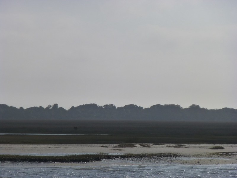 |
|
|
|
Post by htmb on Jan 20, 2013 21:54:33 GMT
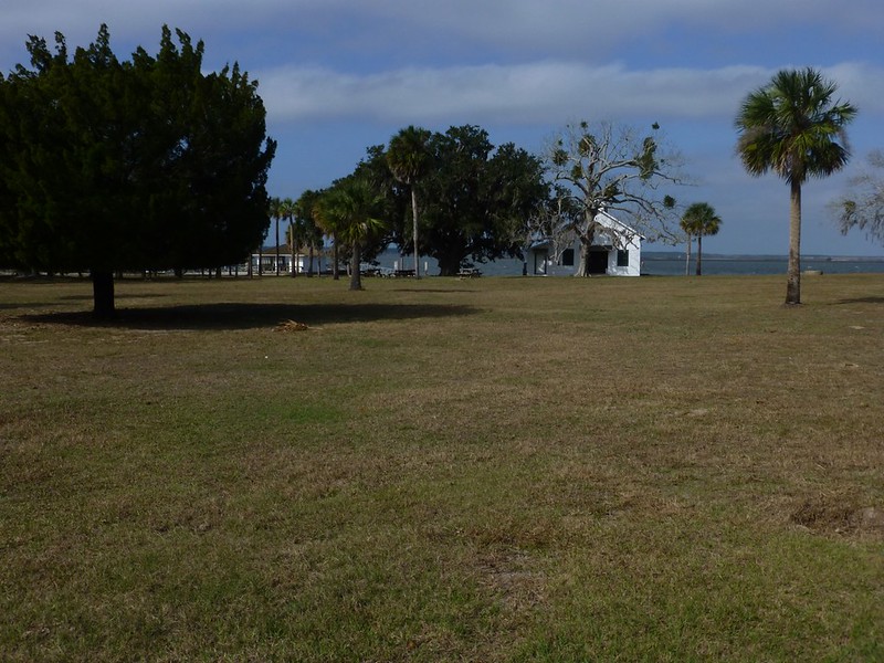
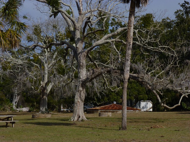
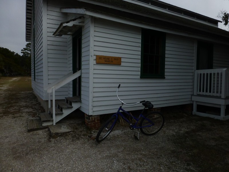
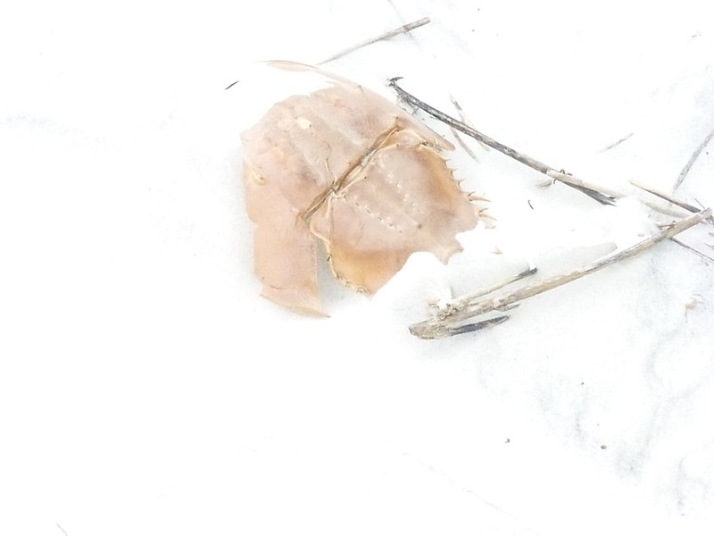
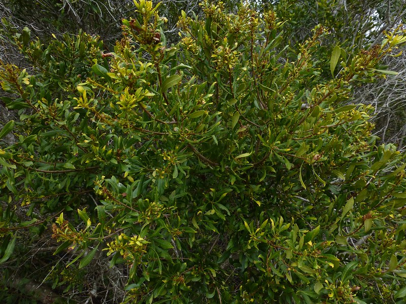
  At 17.5 miles long and 36,415 acres - of which 16,850 are marsh, mud flats, and tidal creeks - Cumberland Island is the largest of Georgia's barrier islands. Resources include sea turtles, turkeys, horses, armadillos, racoon, deer, hogs, sand dunes, maritime forests, and salt marshes. There are also alligators living in the freshwater areas on the northern end. Cumberland Island’s history has been traced back to the Timucuan Indians, and includes stories of the French, the Spanish, pirates, wars, steel magnates, and cotton plantations. News of Cumberland Island spread internationally in 1996, when John F. Kennedy, Jr. and Carolyn Bessette were married at the First African Baptist Church, located towards the north end of the island. SourceThe island is populated with live oak trees whose branches have been twisted and turned by the wind. Beaches on the Atlantic side are covered with pristine white sand, while the offshore area is winter home to the North Atlantic Right Whale. I have toured much of the island with a nature guide, and seen how different the northern part is from the south. It was very interesting to visit the First African Baptist Church. It is very tiny, while just outside the church lies a pig pen where hogs were kept by the residents back when the area was populated. It is said that the wild hogs on the island are related to hogs that escaped captivity. Most of the very northern part of the island is off limits to visitors, and the only way to get around the rest of the sland is by private vehicle (limited to the few private owners still on the island and to park service vehicles), by foot, or by bicycle. While the park service is now offering vehicle tours for a fee, for my recent trip I chose to rent a bicycle and to focus my time on the very southern end of Cumberland. 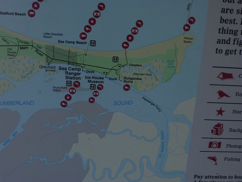 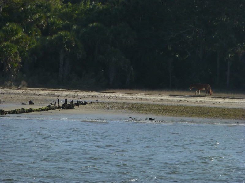 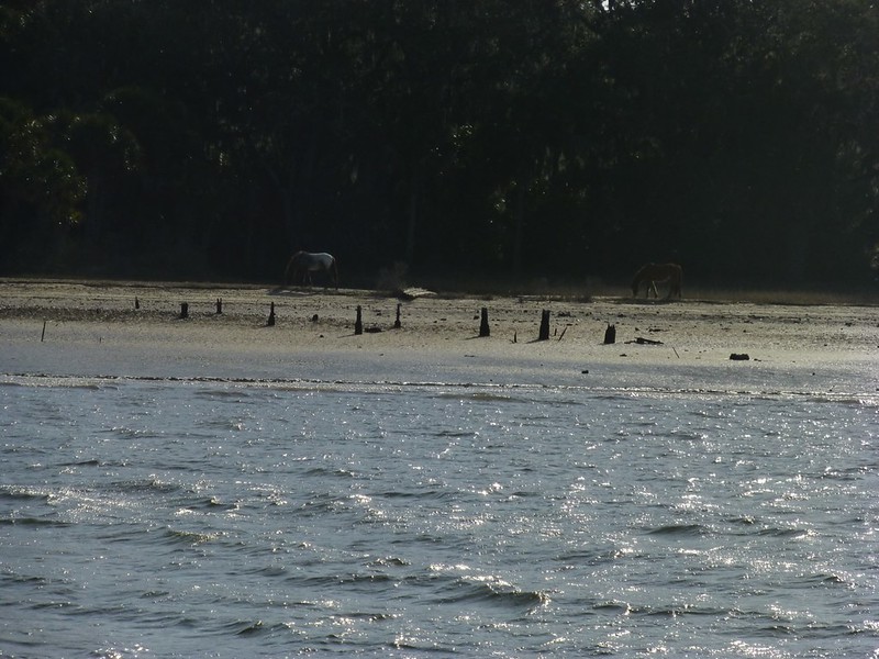 The ferry stops at two docks, the first being Ice House dock. Debarking visitors are typically met by a ranger and can choose to follow a tour that lasts approximately one hour. 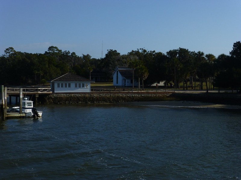 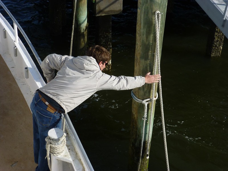 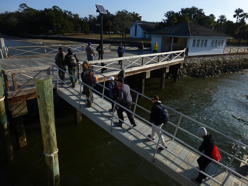 Campers, and those wishing to rent a bike, such as me, exit the boat at the second stop, known as Sea Camp dock. Here's a shot taken from next to the ranger station on shore. 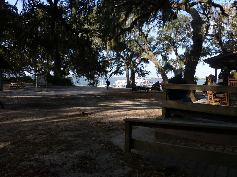 |
|
|
|
Post by mich64 on Jan 20, 2013 22:07:46 GMT
I am enjoying the tour so far htmb!
|
|
|
|
Post by mich64 on Jan 20, 2013 22:14:02 GMT
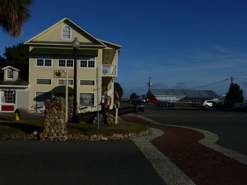
I am enjoying the tour so far htmb! My husband and I have always dreamed of having a home with a wrap around covered porch. There are many beautiful examples of them in St. Mary's. Pristine landscaping as well, lovely. Looking forward to the rest of the story...  |
|
|
|
Post by htmb on Jan 20, 2013 22:16:25 GMT
Oh, thank you, Mich! Much more to come. |
|
|
|
Post by htmb on Jan 21, 2013 4:56:54 GMT
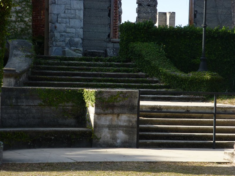
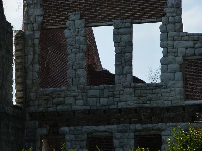
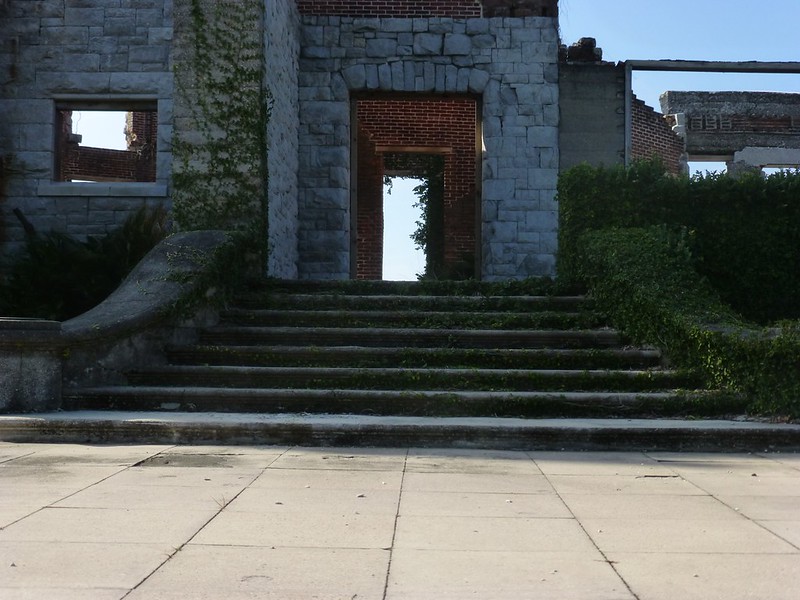
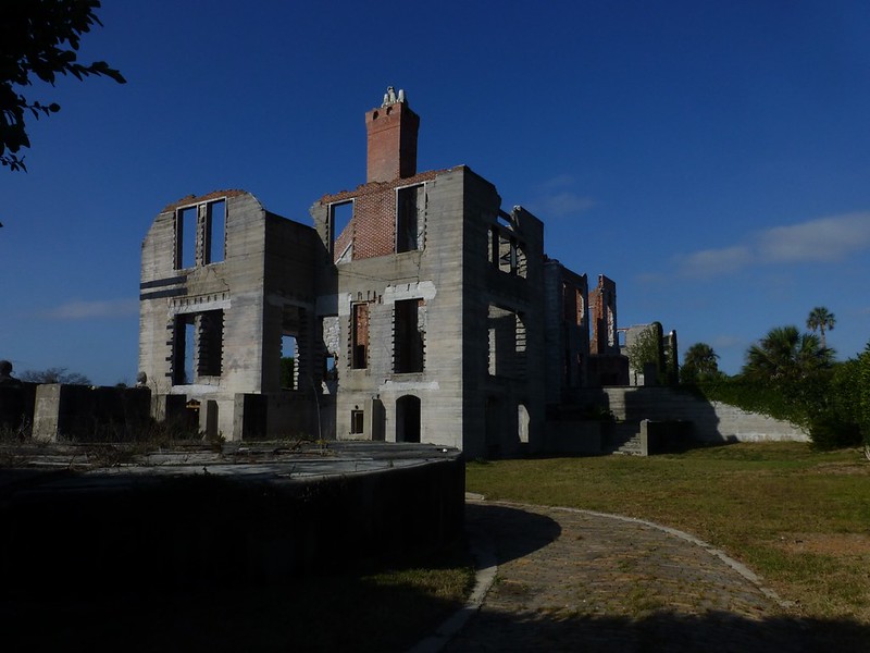
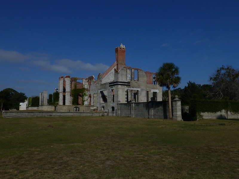
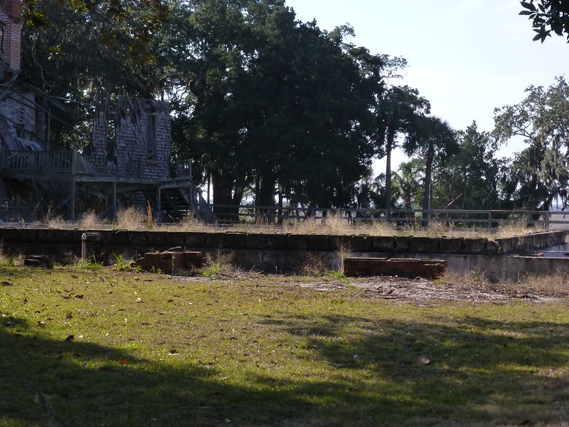
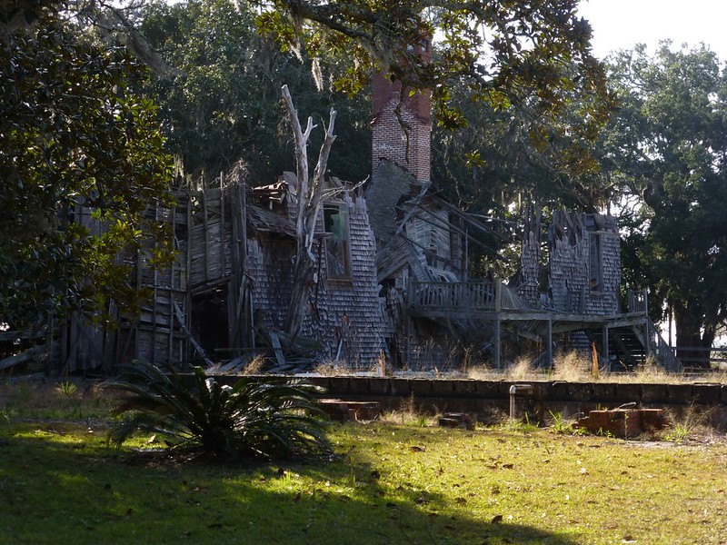
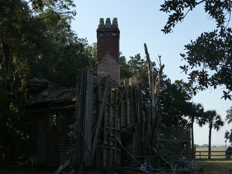
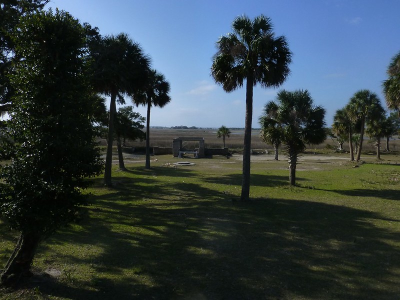
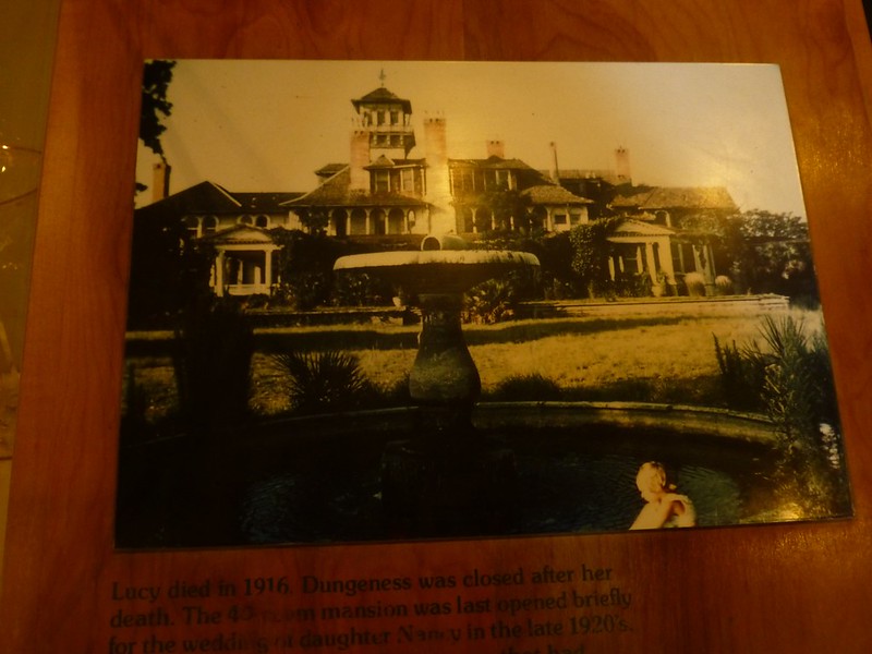
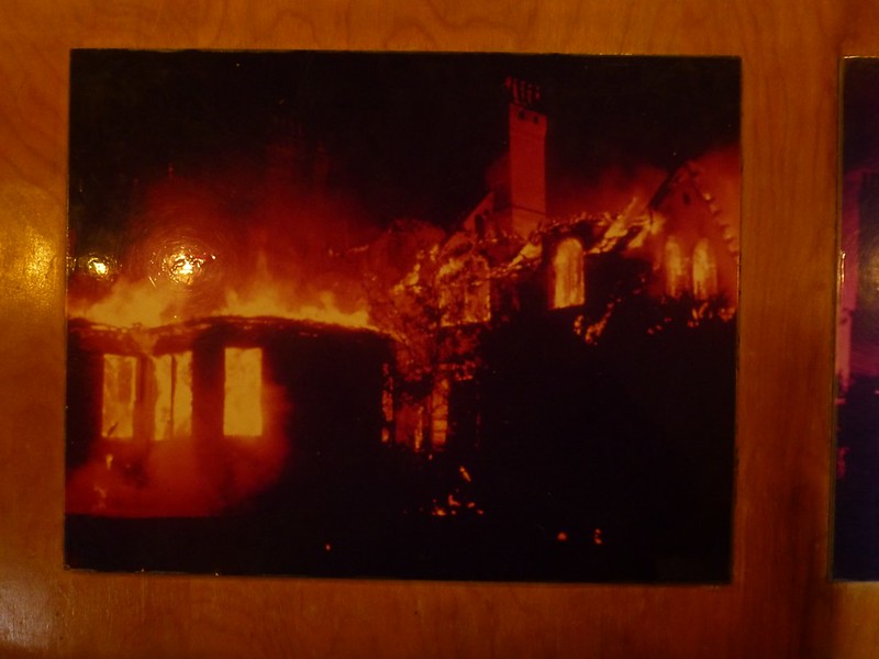
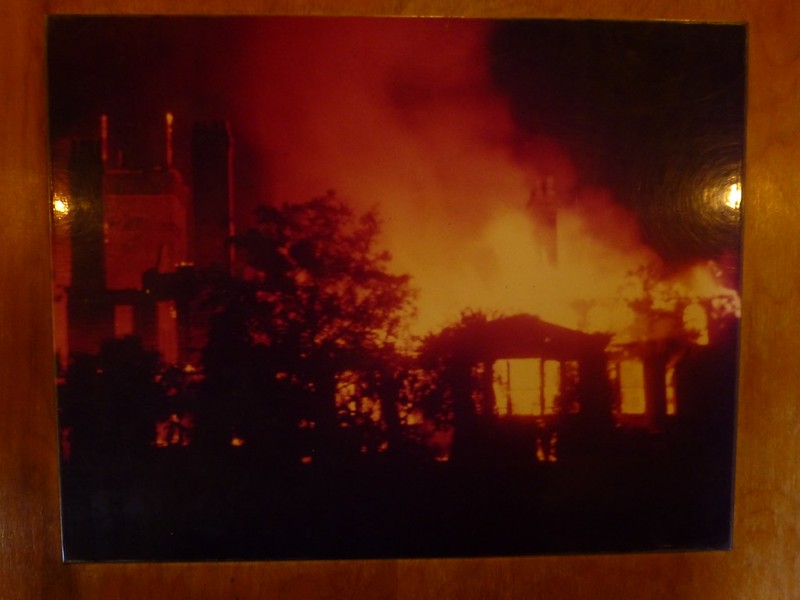
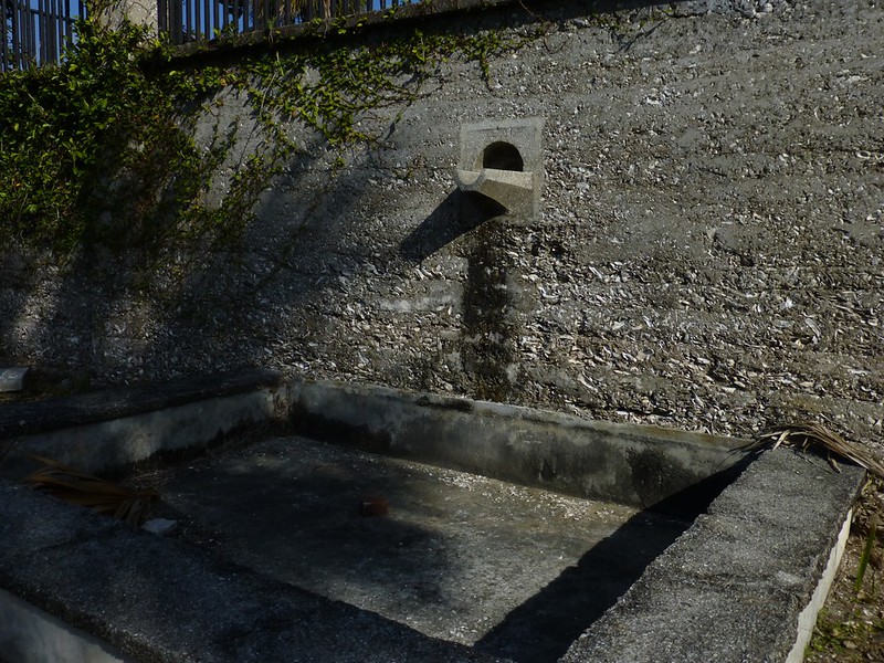
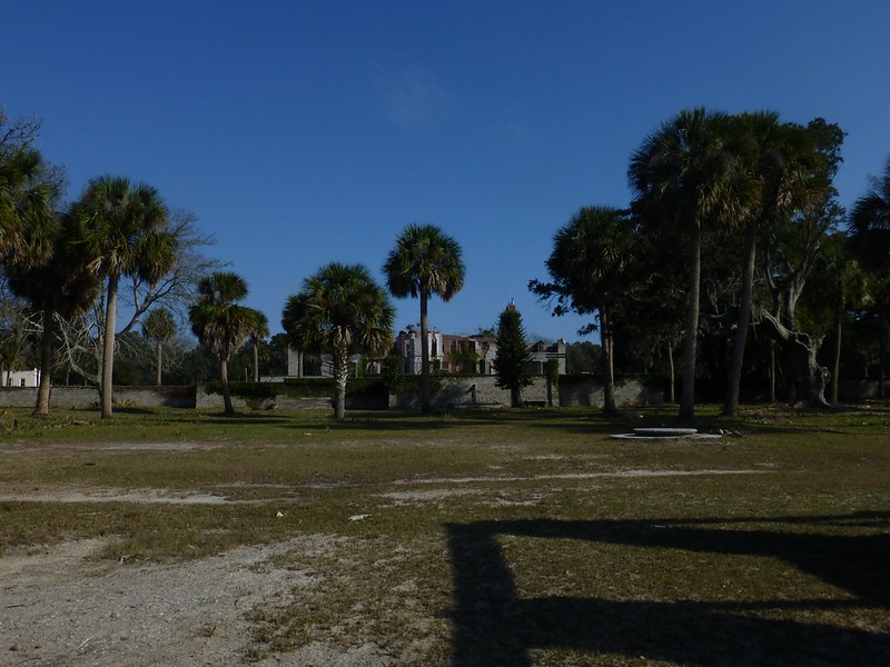
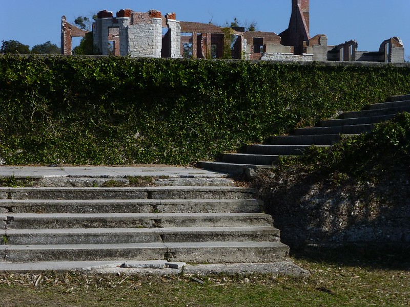
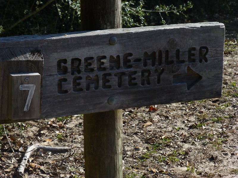
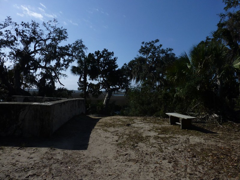
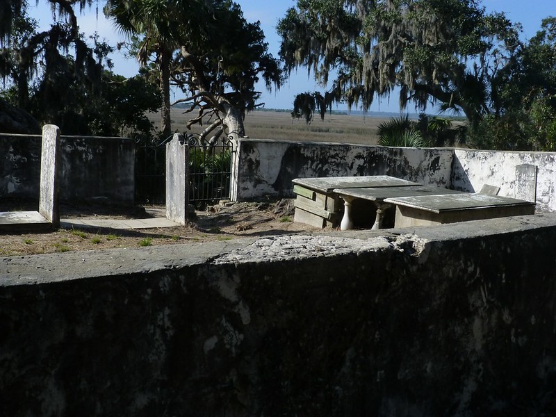
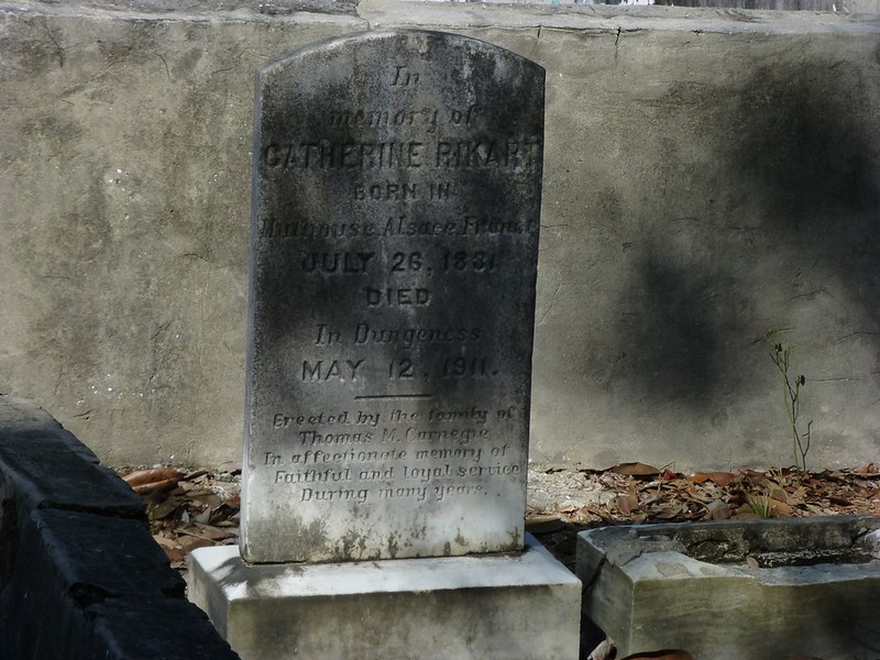
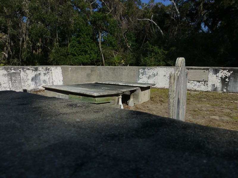
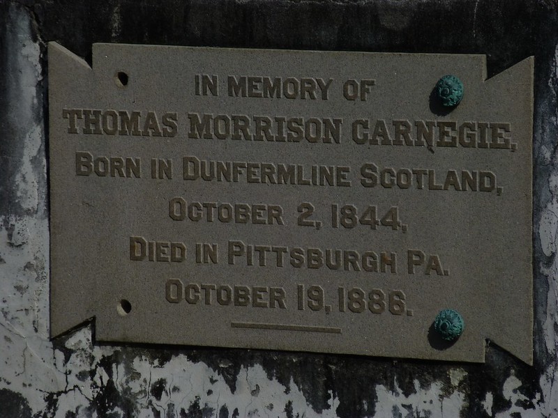
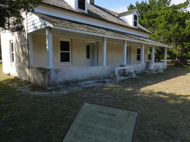
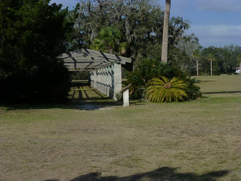
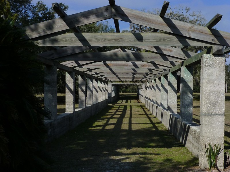
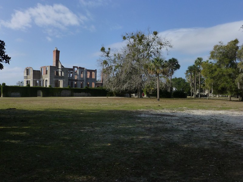
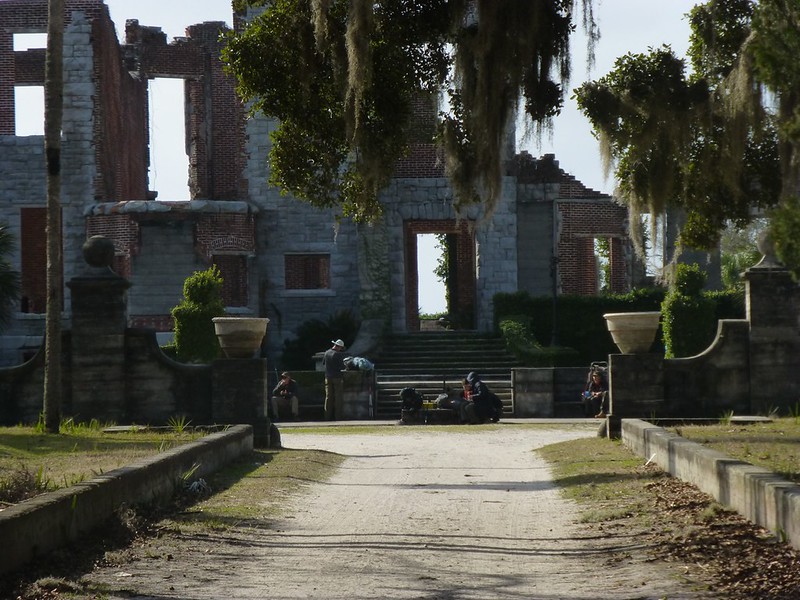
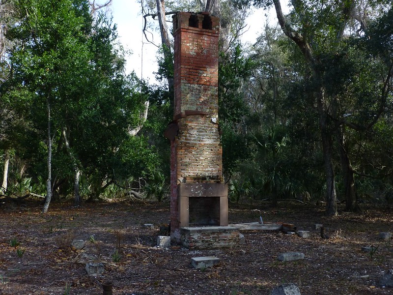
After leaving the ranger station at Sea Camp Dock I followed the path until I reached the center road which runs almost all the way to the north and south ends of the island. After looking towards the north  I headed south towards one of the Carnegie family's former homes: Dungeness. 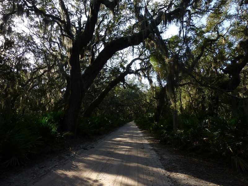 Stone ruins of Carnegie family vacation home. The history of Dungeness dates to James Oglethorpe, founder of the Georgia colony, who built two forts on the island in 1736. In 1783, Revolutionary War General Nathaniel Greene acquired nearly 11,000 acres of the island in exchange for a bad debt. His widow built a house in 1803, which burned in 1866. The property was purchased by Andrew Carnegie's brother Thomas from General William Davis (former Confederate soldier) for his wife Lucy in 1882. Lucy Carnegie also built several homes on the island for her children: Plum Orchard mansion for her son George Lauder Carnegie and Greyfield House for her daughter Margaret "Retta" Carnegie. The Carnegies moved out of Dungeness in 1925 because of costly upkeep, but the estate was maintained through Lucy Carnegie's estate. In 1959, Dungeness was burned to the ground by an arsonist. The ruins remain, though, and include what is called Tabby House, the oldest house on Cumberland Island and the only building the Carnegies spared when they rebuilt the area from the ruins of the Greene estate. The house was built around 1800 of tabby, a kind of concrete made of oyster shells, lime and sand.Source Stone ruins of Carnegie family vacation home. The history of Dungeness dates to James Oglethorpe, founder of the Georgia colony, who built two forts on the island in 1736. In 1783, Revolutionary War General Nathaniel Greene acquired nearly 11,000 acres of the island in exchange for a bad debt. His widow built a house in 1803, which burned in 1866. The property was purchased by Andrew Carnegie's brother Thomas from General William Davis (former Confederate soldier) for his wife Lucy in 1882. Lucy Carnegie also built several homes on the island for her children: Plum Orchard mansion for her son George Lauder Carnegie and Greyfield House for her daughter Margaret "Retta" Carnegie. The Carnegies moved out of Dungeness in 1925 because of costly upkeep, but the estate was maintained through Lucy Carnegie's estate. In 1959, Dungeness was burned to the ground by an arsonist. The ruins remain, though, and include what is called Tabby House, the oldest house on Cumberland Island and the only building the Carnegies spared when they rebuilt the area from the ruins of the Greene estate. The house was built around 1800 of tabby, a kind of concrete made of oyster shells, lime and sand.Source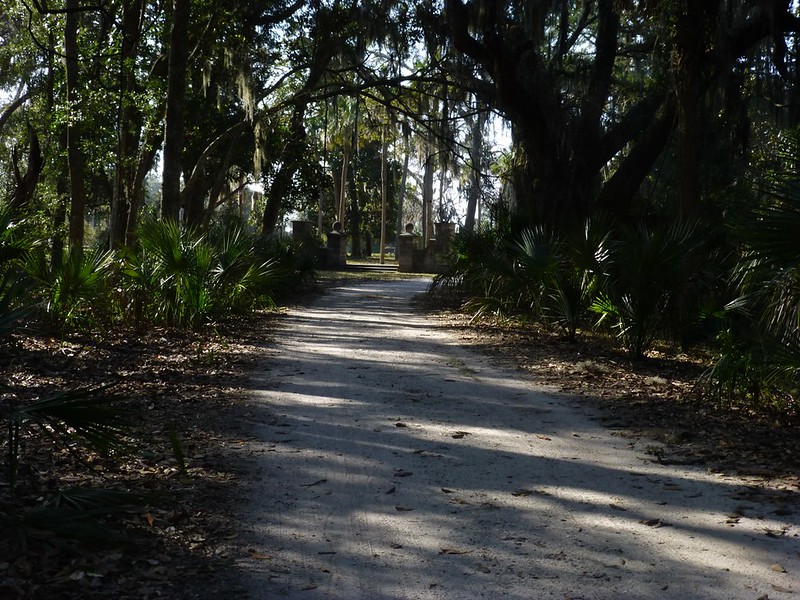 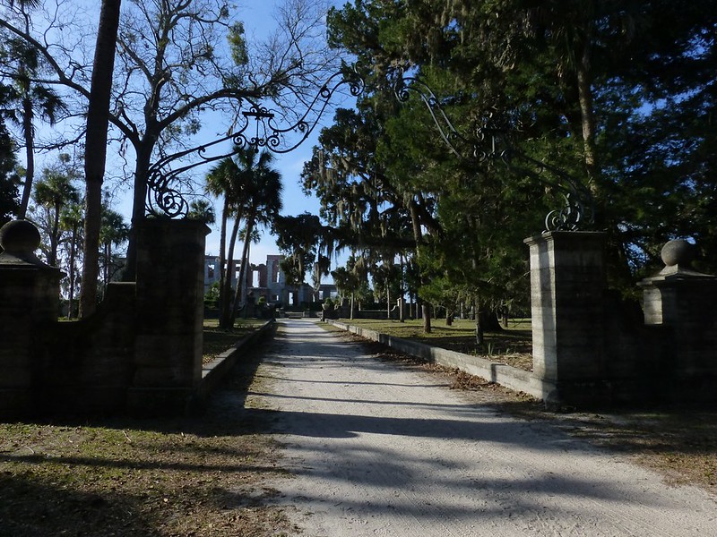 I stopped for awhile across from the front of the house and thought about what it must have been like in it's heyday. 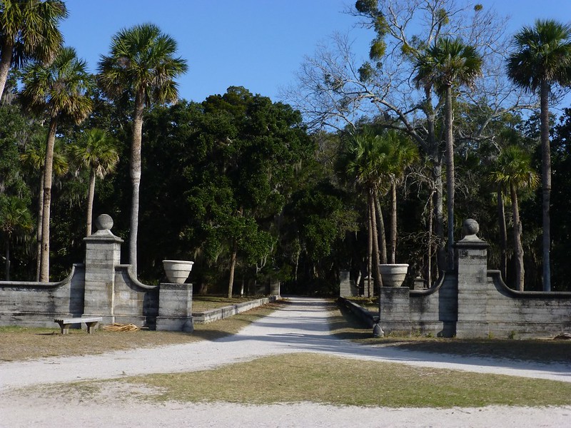 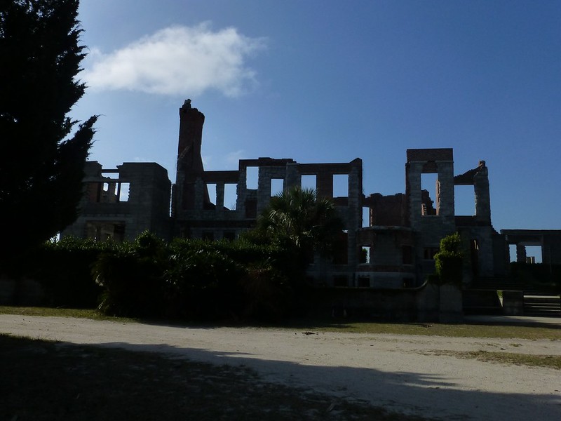 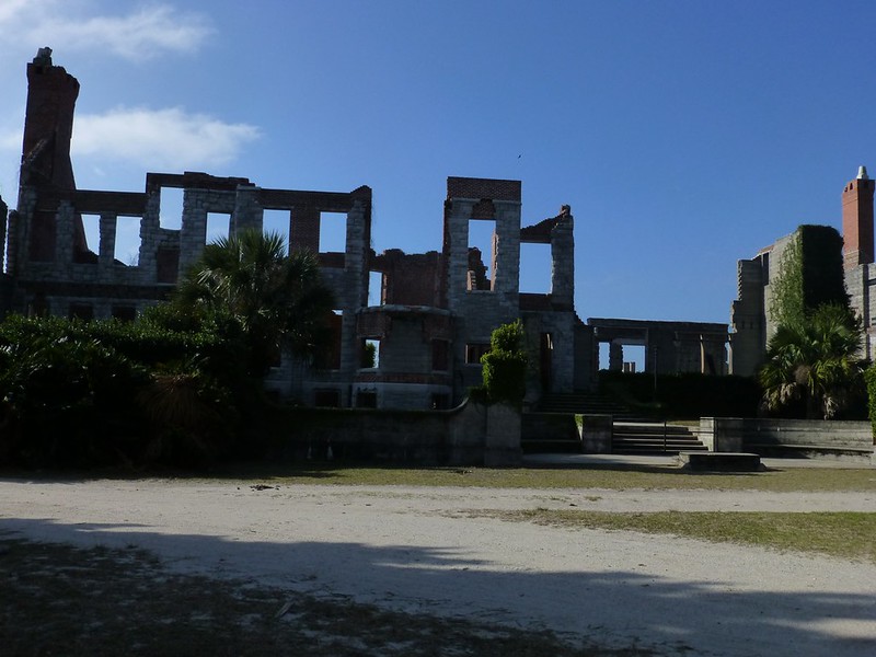 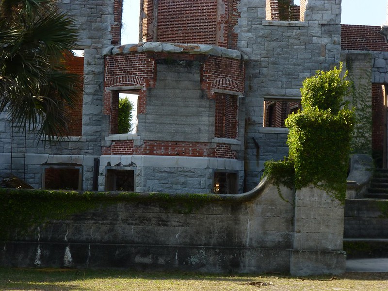 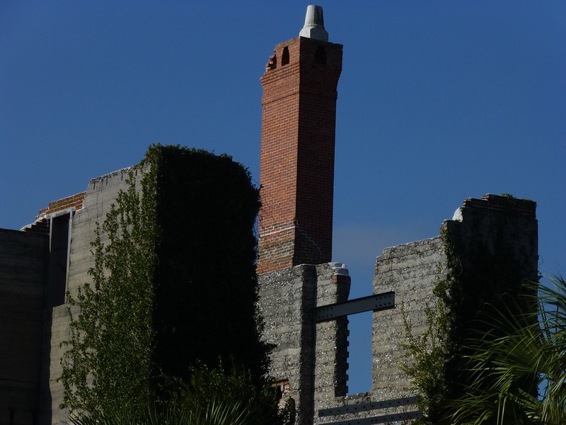 |
|
|
|
Post by htmb on Jan 21, 2013 5:12:37 GMT
|
|
|
|
Post by htmb on Jan 21, 2013 5:36:02 GMT
|
|
|
|
Post by htmb on Jan 21, 2013 6:54:32 GMT
|
|
|
|
Post by mossie on Jan 21, 2013 9:11:23 GMT
You certainly live in a nice part of the world. Our Dungeness, on the Channel coast, in Kent, contains England's only desert.
|
|
|
|
Post by htmb on Jan 21, 2013 12:44:45 GMT
You certainly live in a nice part of the world. Our Dungeness, on the Channel coast, in Kent, contains England's only desert. As you know, Mossie, the history of your country and mine is quite bound together. English General James Oglethorpe, arriving on the Georgia coast in 1733, built a hunting lodge called Dungeness, named after your Dungeness in Kent. Cumberland Island, named for William Augustus, the 13 year old Duke of Cumberland, was given its name by a Timucuan (Native American) named Toonahowi, whose chieftan uncle traveled to England with Oglethorpe. |
|
|
|
Post by htmb on Jan 21, 2013 12:48:31 GMT
|
|
|
|
Post by htmb on Jan 21, 2013 13:22:07 GMT
|
|
|
|
Post by htmb on Jan 21, 2013 13:45:08 GMT
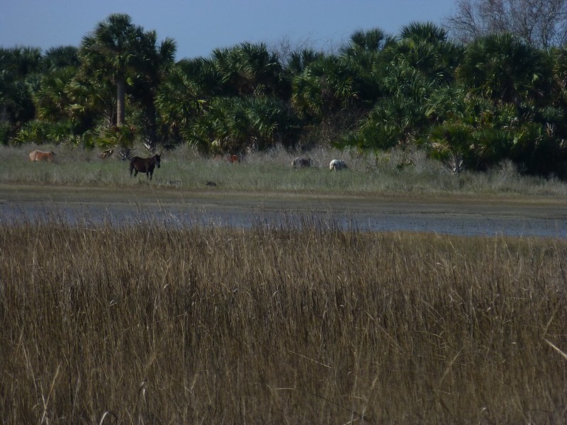
Here I came across more of the island horses. At last count there were approximately 150 on the island. The horses, believed to have descended from those brought by the English, are totally wild and free to roam as they choose. While monitored by the park service, the horses receive no veterinary care. Their life span is approximately 8 years, short for a horse, due to parasites, sand ingested while grazing, and other untreated ailments. Though the horses appeared healthier to me than I have seen them in the past, I could still detect a tell tale bloated belly on a few. Park rangers warn visitors to stay well clear of the horses, as they have seemingly no fear of humans. They will kick and bite if provoked, and the young people in a couple of my photos below we're clearly breaking the rules by getting too close. 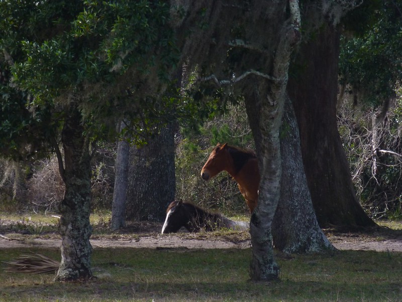 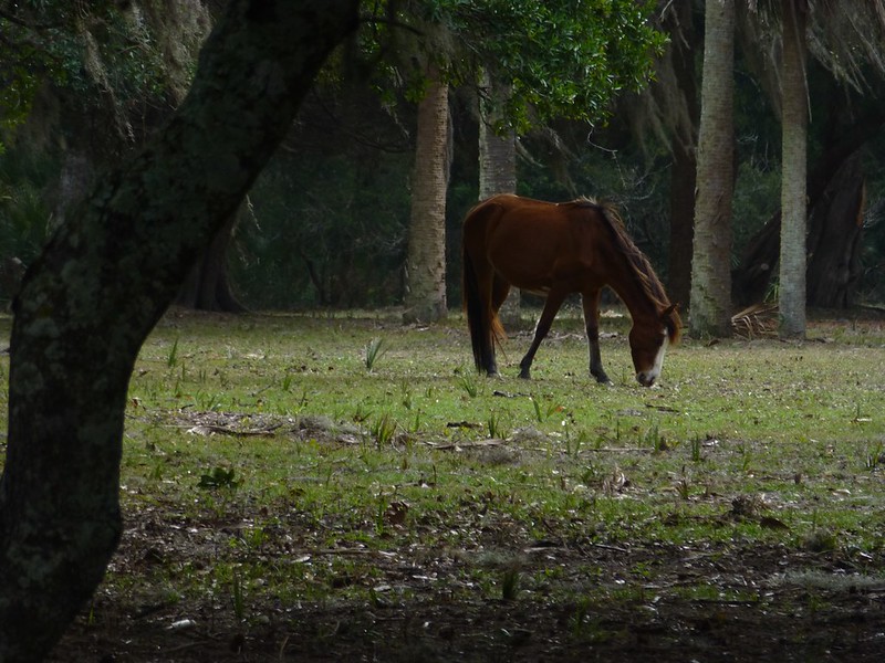  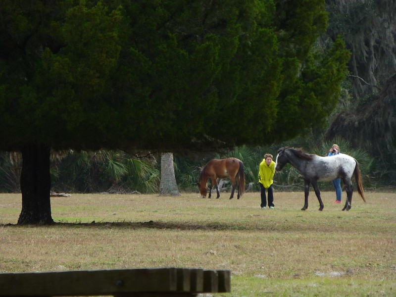 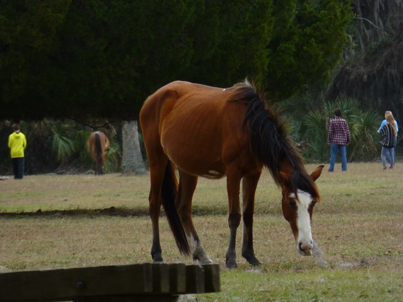 |
|
|
|
Post by htmb on Jan 21, 2013 21:59:59 GMT
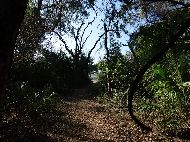
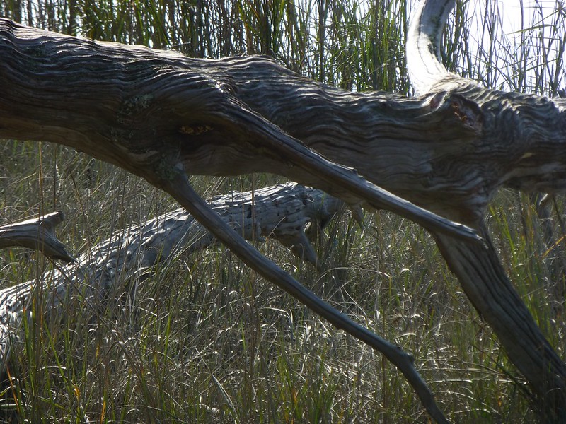
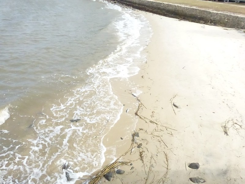
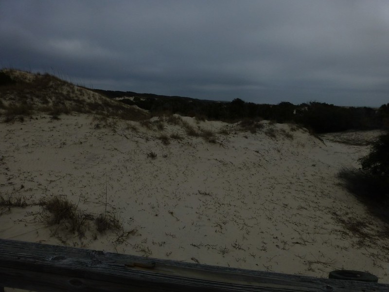
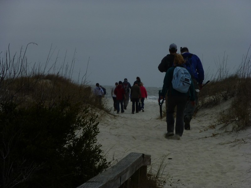
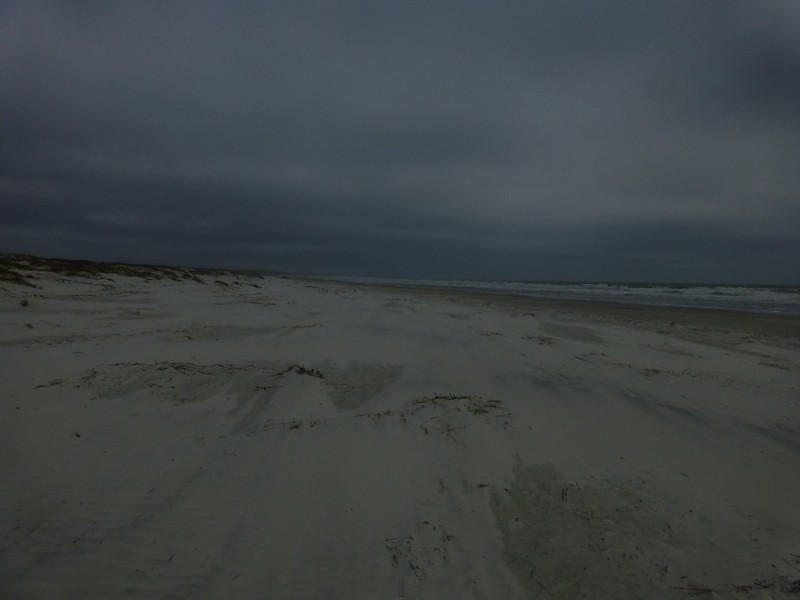
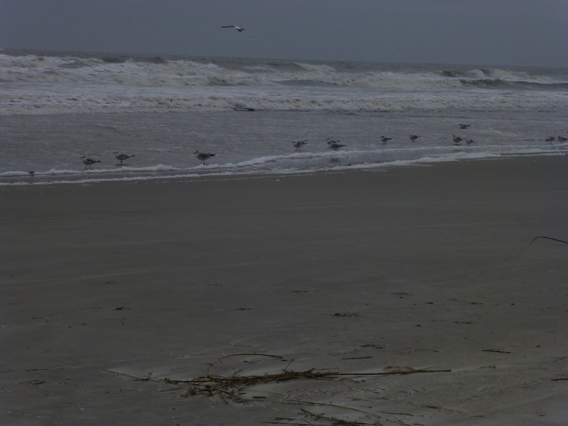
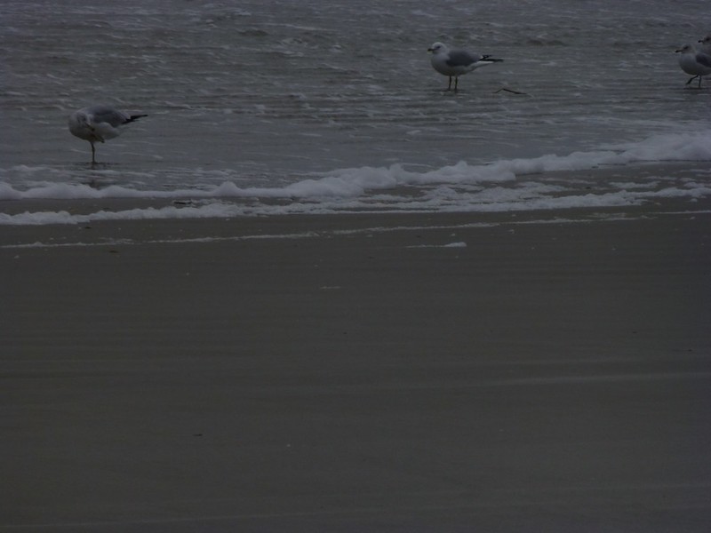
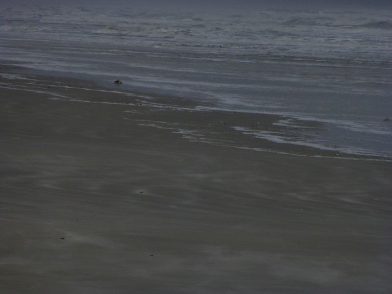
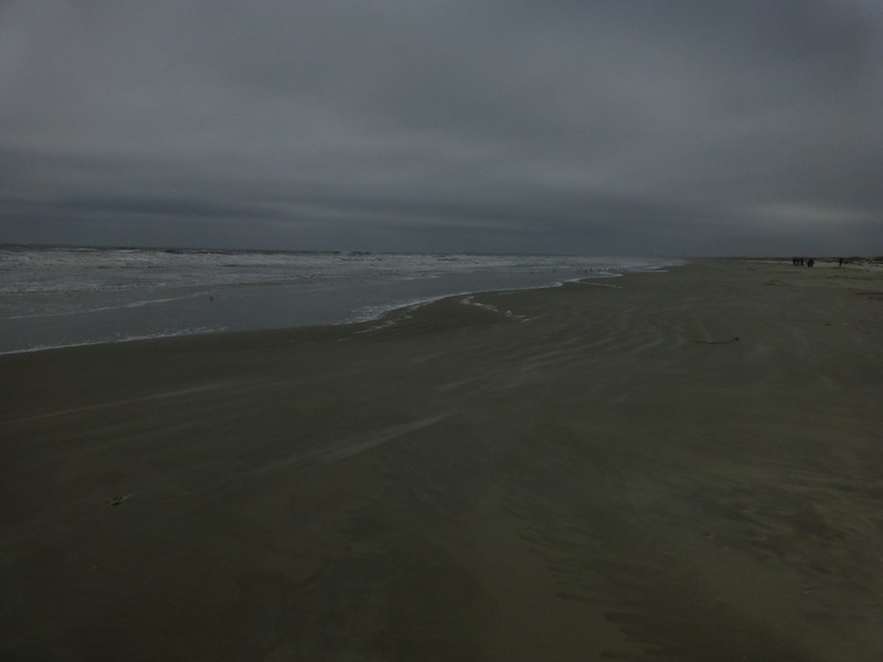
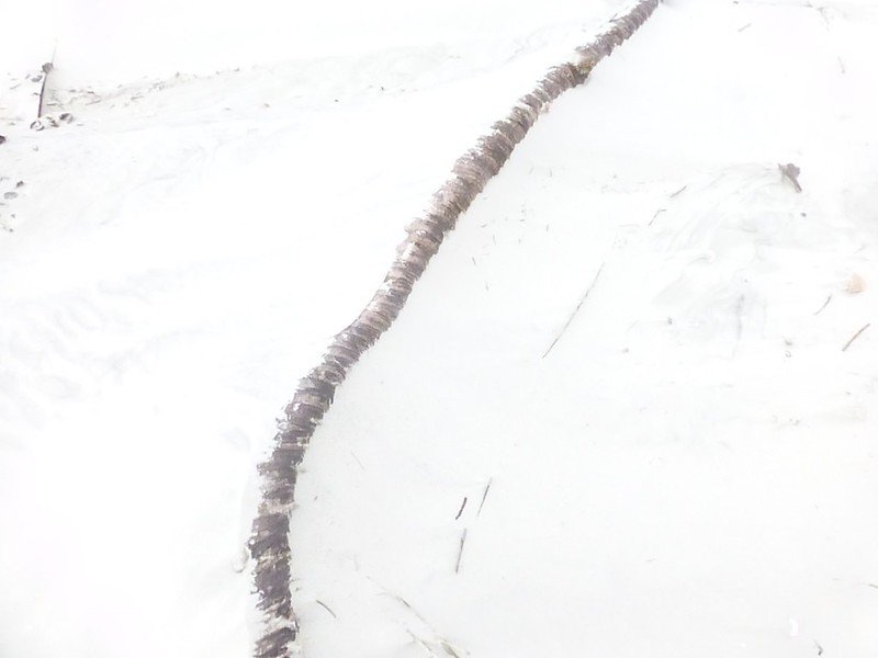
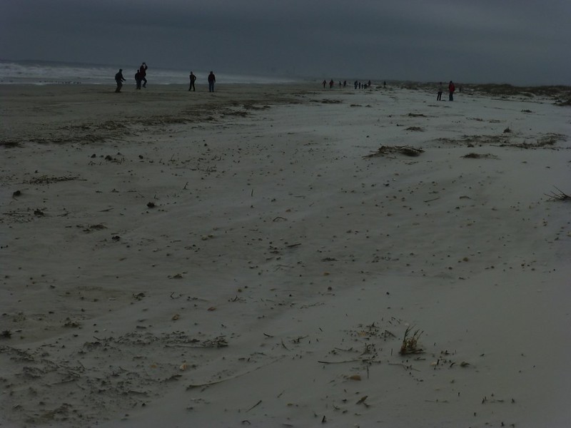
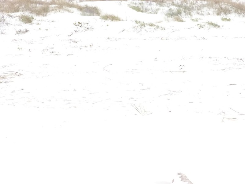
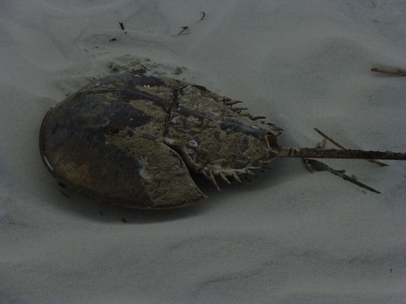
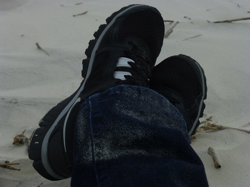
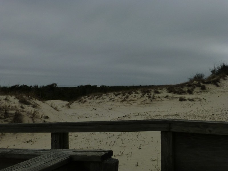
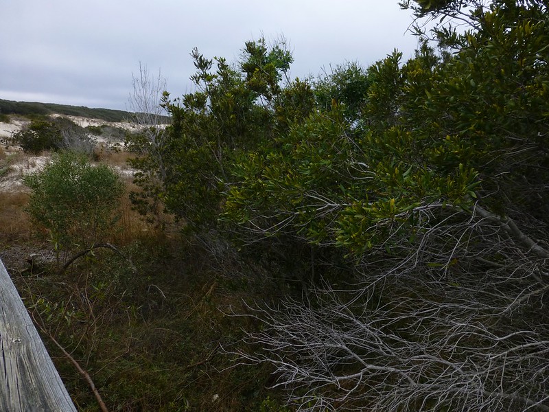
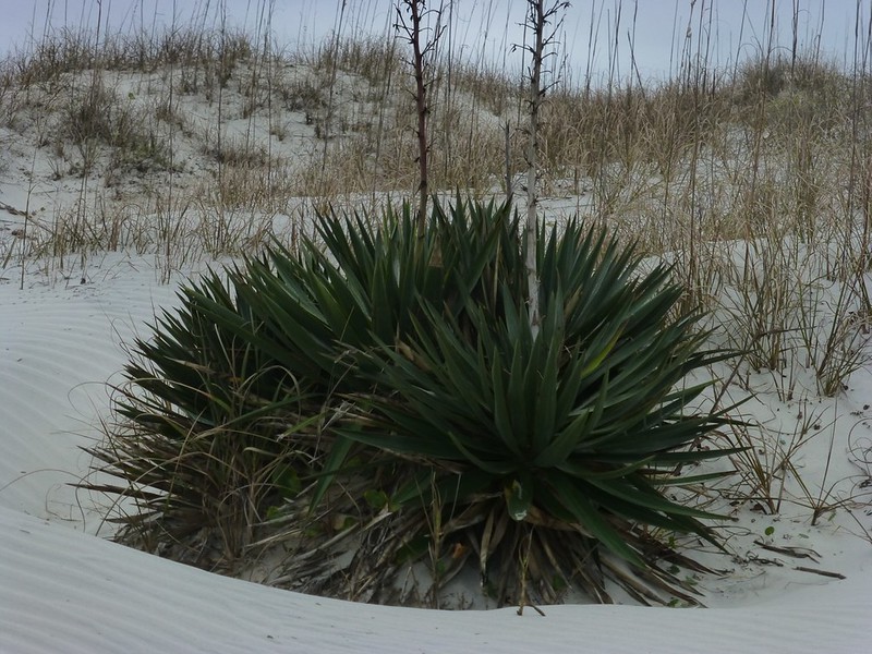
The beach at Cumberland Island is stunningly beautiful; over seventeen miles of pure white sand along the Atlantic Ocean. I was hoping to spend some time on the beach during this trip, but with the strong, steady wind it just wasn't meant to be. I traveled north back to the Sea Camp cross-path and over to the beach. This is the area where we spend the most time on camping trips. It's approximately one half mile from the dock, making it fairly easy to transport camping gear and food to campsites using the park carts. Just through the trees and over the dunes from Sea Camp is the beach. 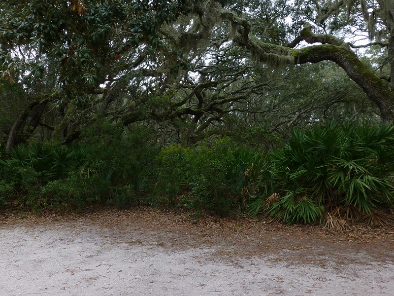 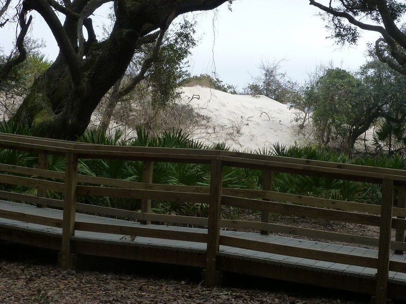 The children in our group have spent many memorable hours climbing these wonderful trees at the foot of the dunes. 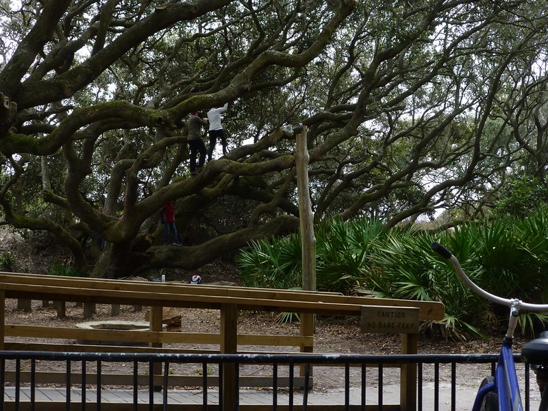 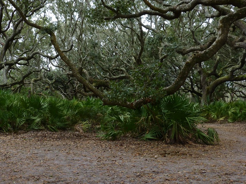 These trees have been twisted by the wind and make the most interesting sounds, sometimes squeaking as their limbs rub together. 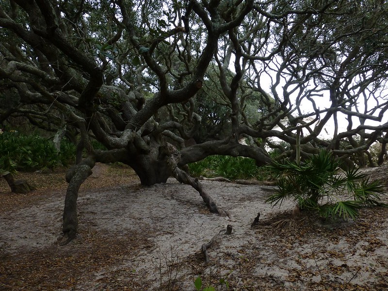 Rental bikes are not allowed on the beach, so I parked my bike at the foot of the boardwalk. 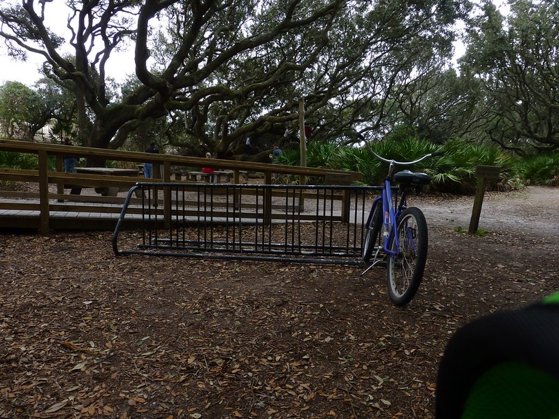 Walking out into the dunes I can tell this visit onto the beach is going to be short. As you can see, the lighting changes dramatically, not so much because it was all that cloudy at 1:00 in the afternoon, but because the air was filled with blowing sand. 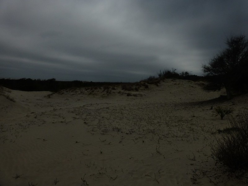 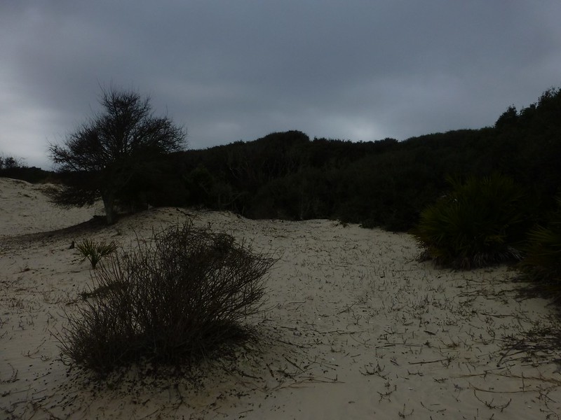 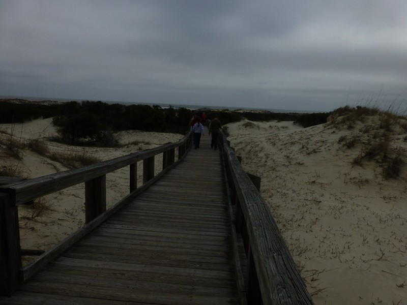 |
|
|
|
Post by htmb on Jan 21, 2013 22:14:37 GMT
|
|
|
|
Post by mich64 on Jan 21, 2013 23:28:23 GMT
What a tranquil spot this island is. It was unfortunate that the weather was not pleasant enough for much time to be spent on the beach but you were able to take some beautiful photos.
That tree is amazing! Even I would be have to attempt a little climb. ;D
|
|
|
|
Post by htmb on Jan 22, 2013 1:00:28 GMT
|
|
|
|
Post by bixaorellana on Jan 22, 2013 5:16:00 GMT
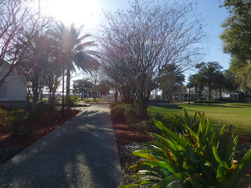
Htmb, this is a real treat of a tour! St. Mary's felt very homey to me because of the layout, the buildings, and the Spanish moss, but with a nice dash of the exotic because of the native palms and the definite sense of the nearby water in some of the pictures.
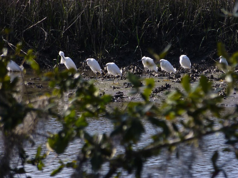
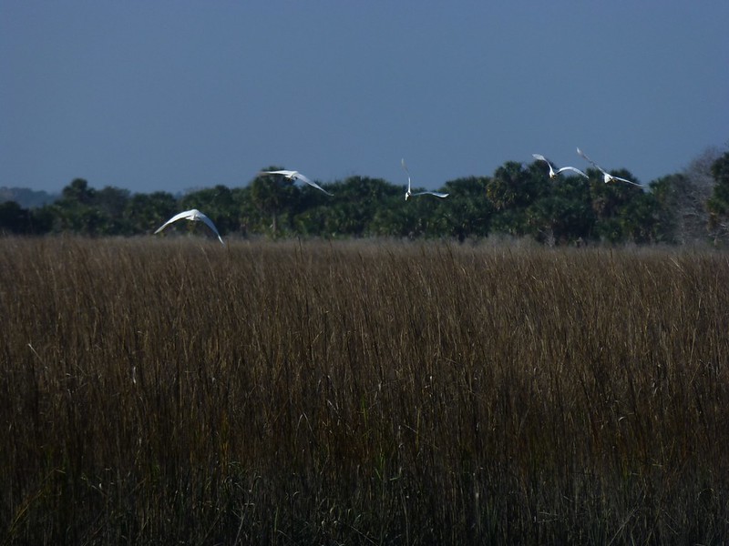
I have to say that my favorite thing in the report are the wonderful pictures of the salt marshes and also your fabulous egret shots.
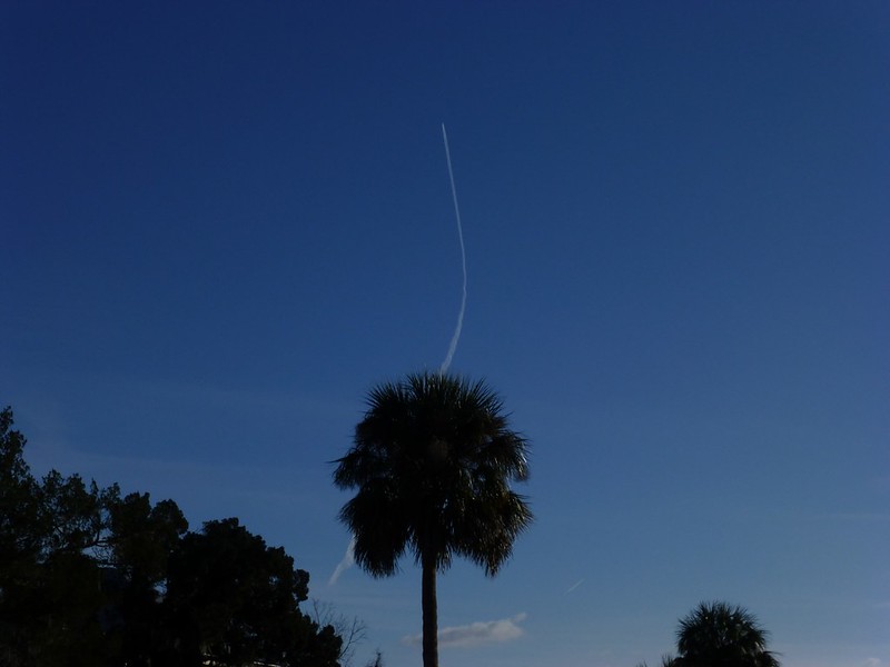
Your second contrail picture is a real winner, with the duplicated stripes on the ground and in the air.
How nice to think that there will be a new (old) thing to see the next time you visit there.
Hope the camera is okay!
|
|
|
|
Post by mossie on Jan 22, 2013 8:22:40 GMT
Sand and cameras do not mix  Pity the wind stopped you enjoying the beach, but those trees really ask to be climbed. |
|
|
|
Post by lugg on Jan 22, 2013 9:21:48 GMT
Fabulous thread htmb, it explains perfectly why you and your family think it is heaven on earth. An outstanding collection of great photos and a very interesting read.
Of course, because of my love of equines I had to know more about the feral horses of Cumberland and have just read a really interesting article on their hooves and the advantages of their having long toes for gripping in the sand which you can see in some of your close ups.
Which kind of echoes that wonderful tree which has anchored itself as firmly as possible.
Hope your camera has survived the sand.
|
|


